Phrom Phong satellite images 2017–2025: how it changed
9 yearly Sentinel-2 images of Phrom Phong, Bangkok, from 28 Mar 2017 to 15 Jan 2025. Green cover in true colour moved from 29% to 23% (-6 percentage points) across a 5 × 5 km box.
Before and after
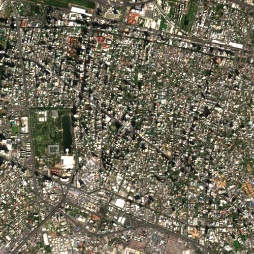
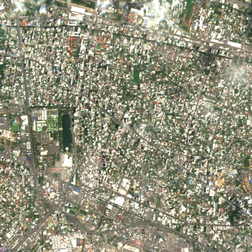 20172025
Drag the divider or use the arrow keys.
Year by year
28 Mar 2017 · cloud 32% · green 29% 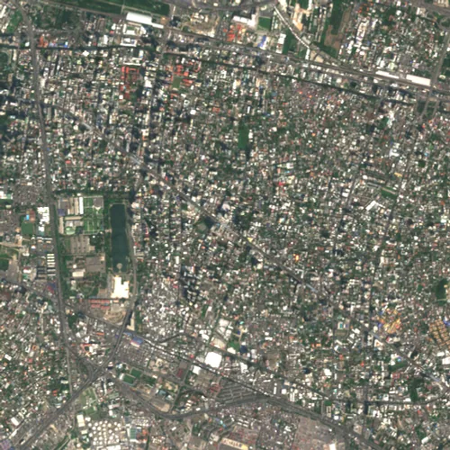
6 Feb 2018 · cloud 0% · green 32% 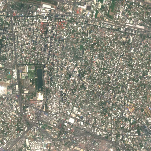
23 Mar 2019 · cloud 2% · green 24% 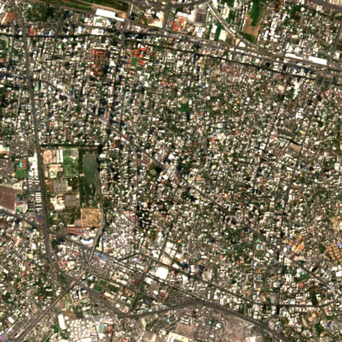
21 Feb 2020 · cloud 0% · green 17% 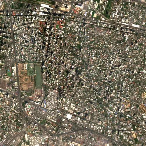
5 Feb 2021 · cloud 0% · green 17% 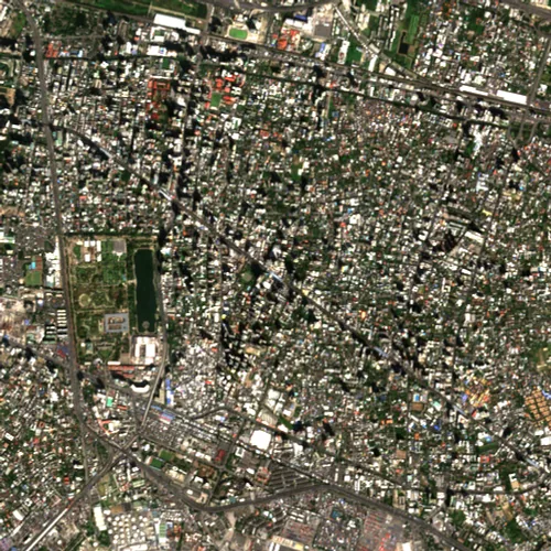
12 Dec 2021 · cloud 0% · green 24% 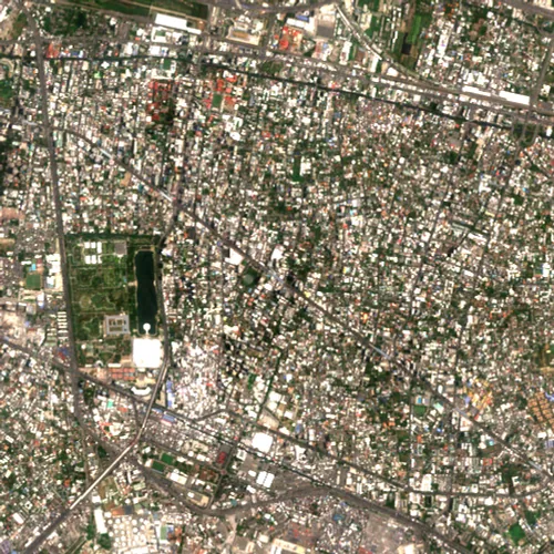
21 Apr 2023 · cloud 0% · green 20% 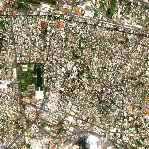
30 Apr 2024 · cloud 1% · green 17% 15 Jan 2025 · cloud 0% · green 23%
Yearly facts
| Year | Acquired | Cloud cover | Green cover | Valid pixels |
|---|---|---|---|---|
| 2017 | 28 Mar 2017 | 32% | 29% | 100% |
| 2018 | 6 Feb 2018 | 0% | 32% | 100% |
| 2019 | 23 Mar 2019 | 2% | 24% | 100% |
| 2020 | 21 Feb 2020 | 0% | 17% | 100% |
| 2021 | 5 Feb 2021 | 0% | 17% | 100% |
| 2022 | 12 Dec 2021 | 0% | 24% | 100% |
| 2023 | 21 Apr 2023 | 0% | 20% | 100% |
| 2024 | 30 Apr 2024 | 1% | 17% | 100% |
| 2025 | 15 Jan 2025 | 0% | 23% | 100% |
Method and limits
- Sentinel-2 true colour at 10 m per pixel, so single houses are not visible.
- One clear dry-season acquisition per year; seasons and sun angle still differ slightly between years.
- Green cover is an RGB approximation of green-dominant pixels, not NDVI.
- Clouds, haze and shadows can remain in a scene even after selection.
Contains modified Copernicus Sentinel data, processed by MapScale.
Look at any other area
The live map shows satellite history for any box you draw, not just the places listed here.
Open satellite history on the live map