Thailand from space: how cities changed since 2017
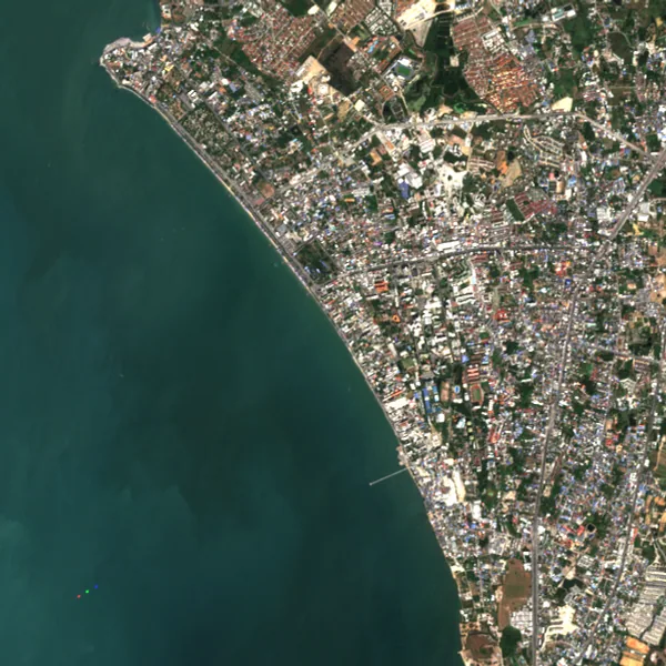
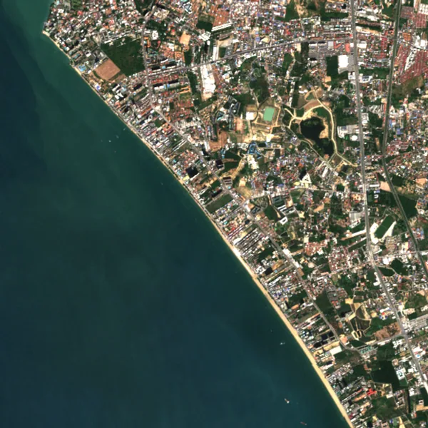
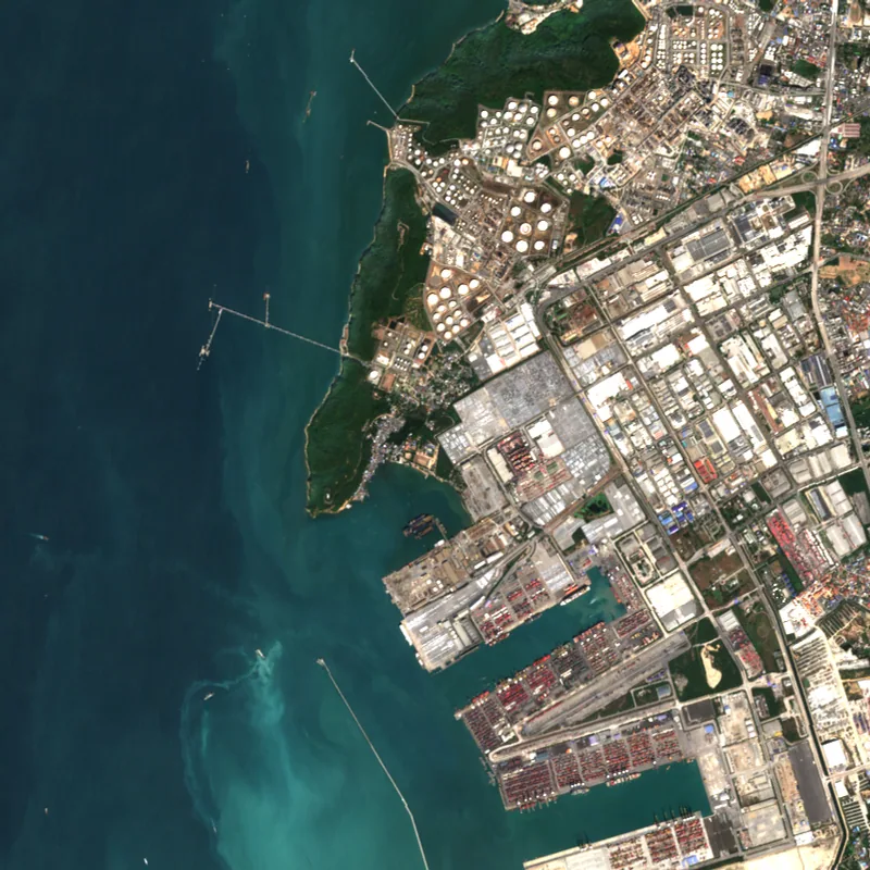
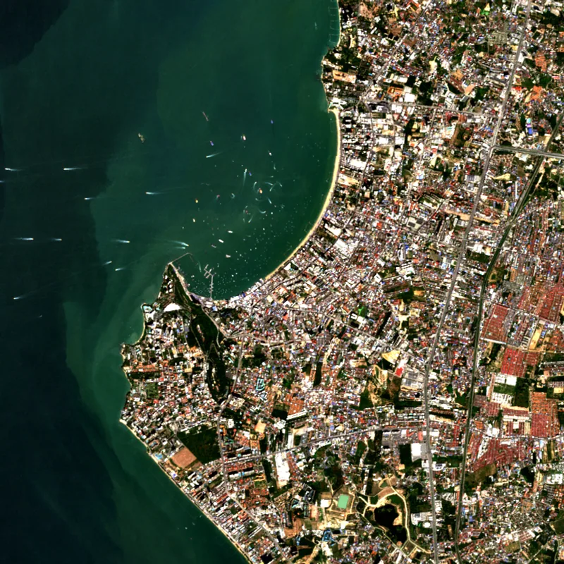
Pick a city or neighbourhood to see how it looks from orbit, year by year. Every page puts the earliest and latest true-colour image side by side so new roads, reservoirs, estates and cleared land are easy to spot.
Source and method
Images come from the Sentinel-2 satellites at 10 m per pixel. For each place and year MapScale picks one clear dry-season acquisition and renders it in true colour. Green cover is a simple share of green-dominant pixels, not a vegetation index.
Contains modified Copernicus Sentinel data, processed by MapScale.
Draw any area on the live mapPopular areas
Bangkok
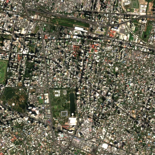 AsokBangkok · 2025
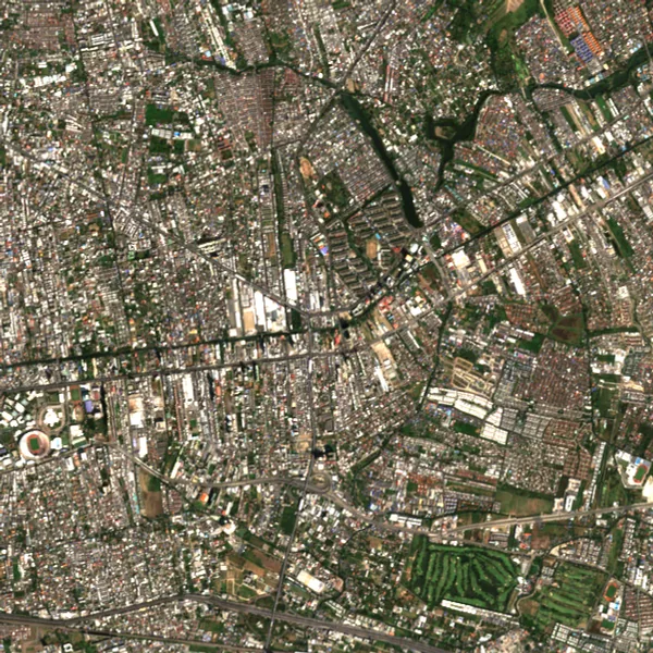 Bang KapiBangkok · 2025
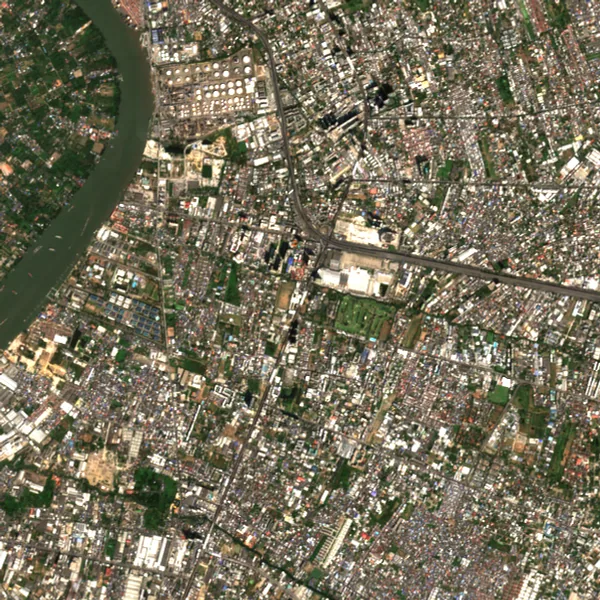 Bang NaBangkok · 2025
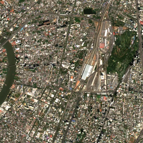 Bang SueBangkok · 2025
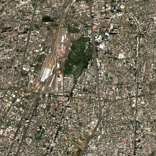 ChatuchakBangkok · 2025
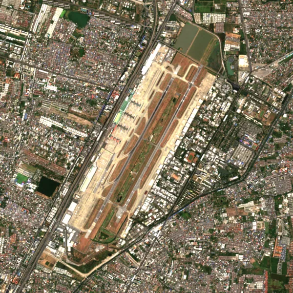 Don MueangBangkok · 2025
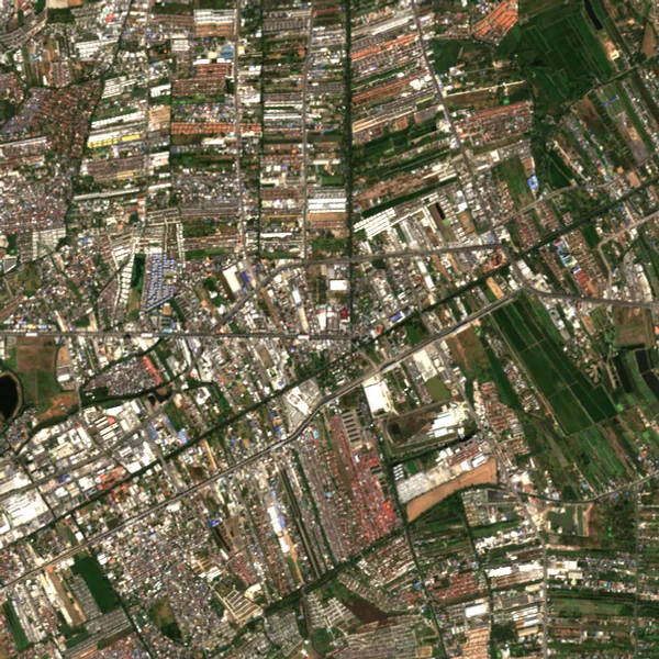 Min BuriBangkok · 2025
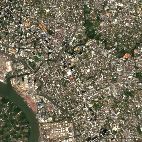 On NutBangkok · 2025
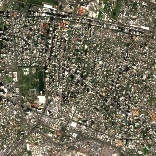 Phrom PhongBangkok · 2025
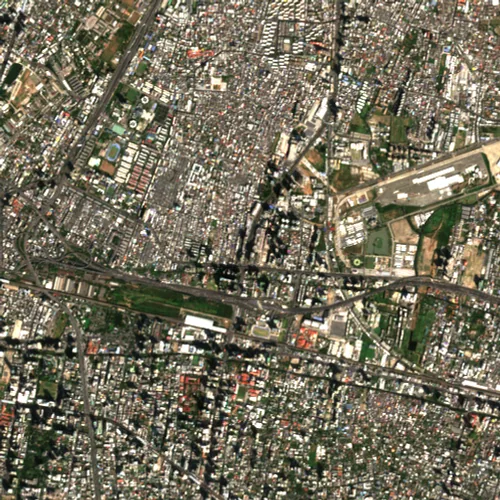 Rama 9Bangkok · 2025
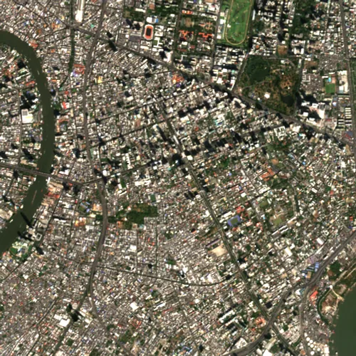 SathornBangkok · 2025
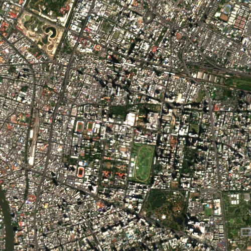 SiamBangkok · 2025
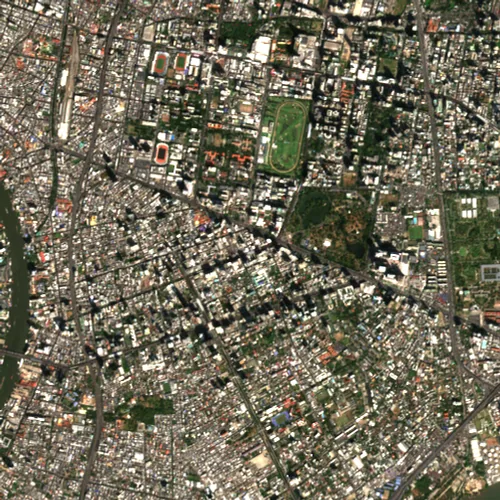 SilomBangkok · 2025
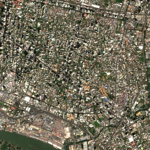 Thong LoBangkok · 2025
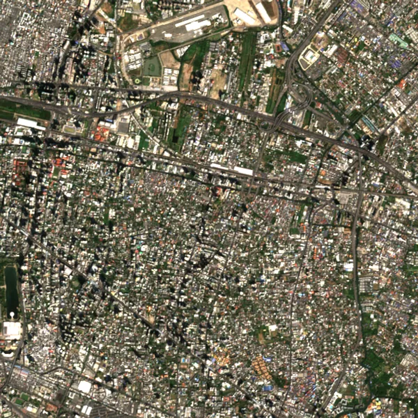 WatthanaBangkok · 2025
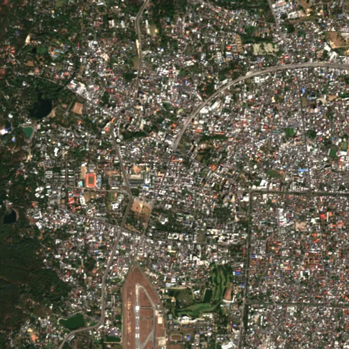
Chon Buri
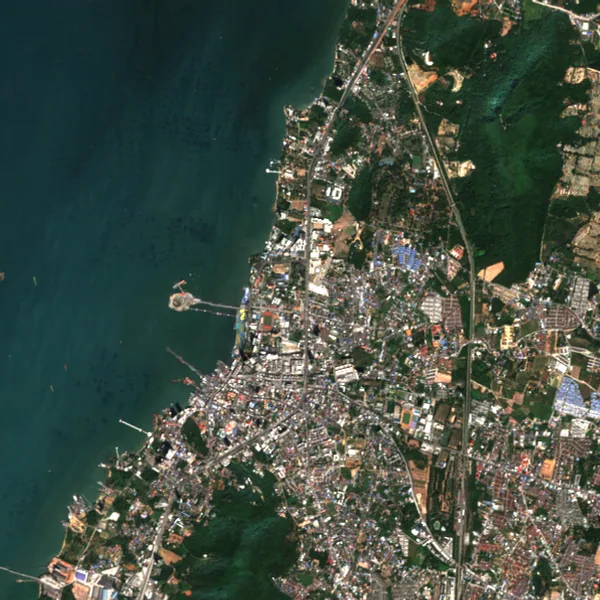
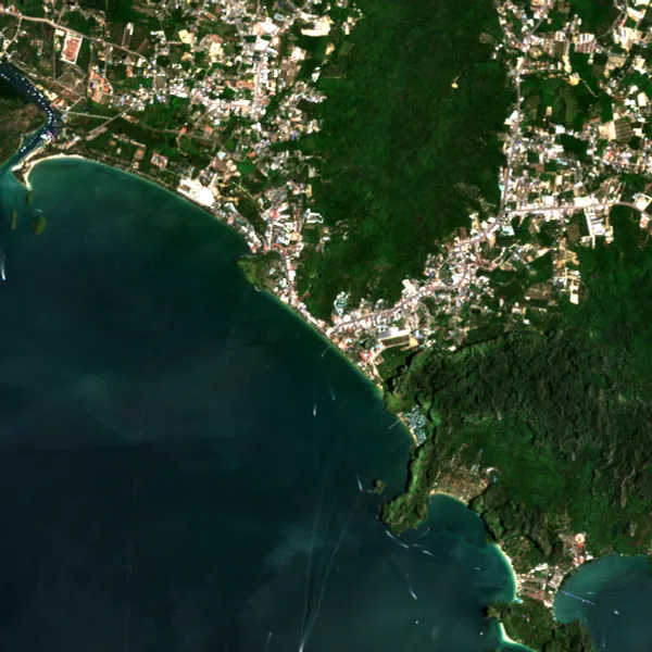
Krabi
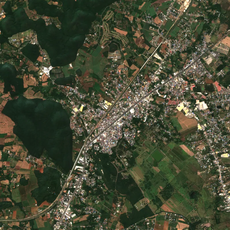
Nakhon Ratchasima
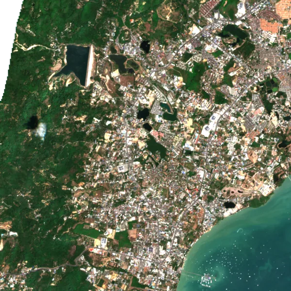
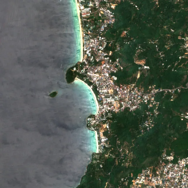
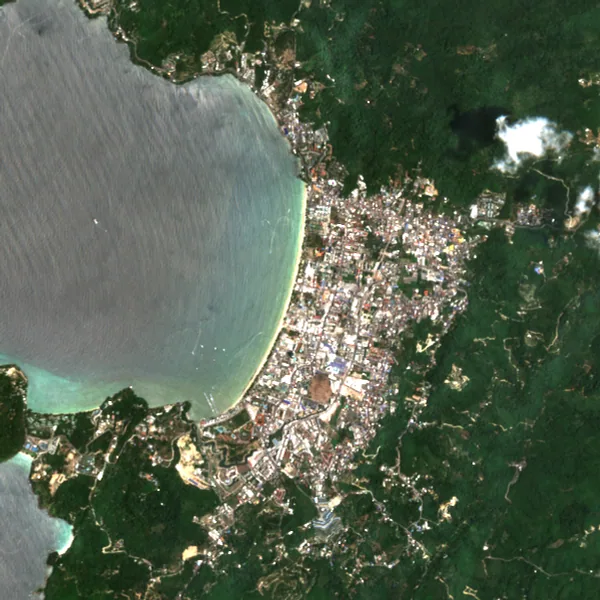
Prachuap Khiri Khan
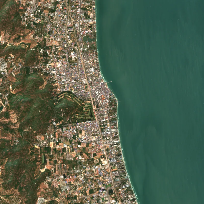
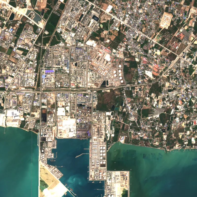
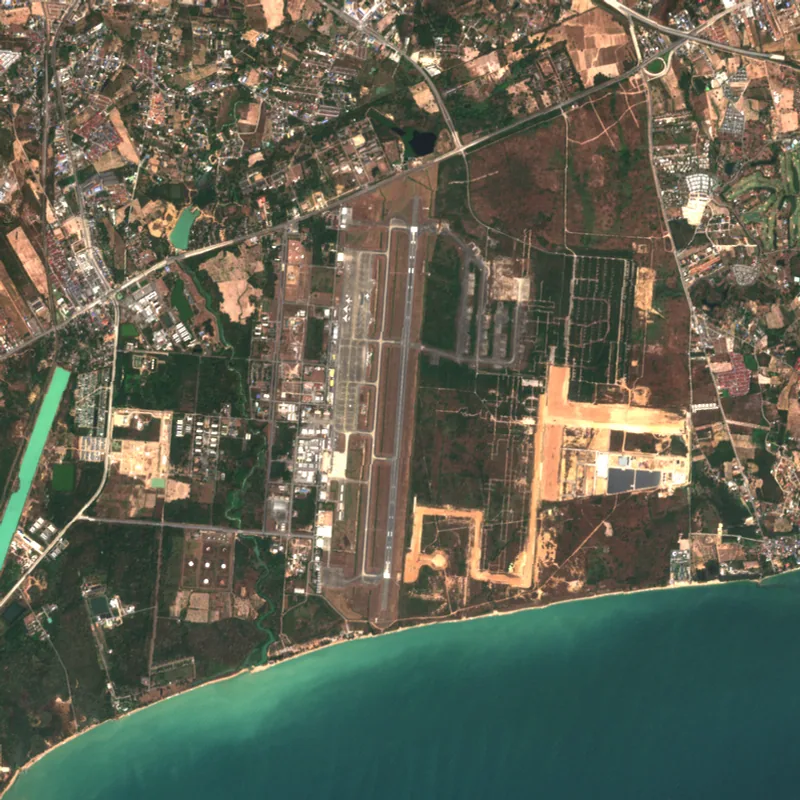
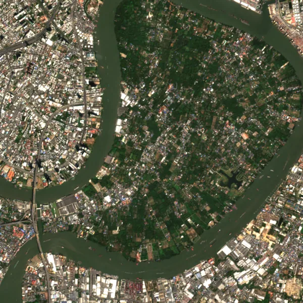
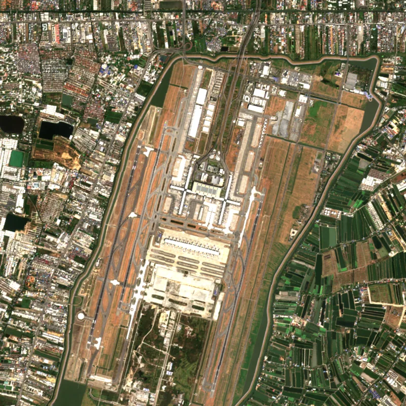
Songkhla
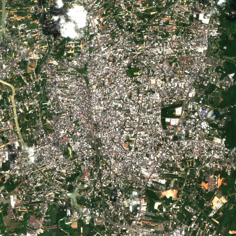
Surat Thani
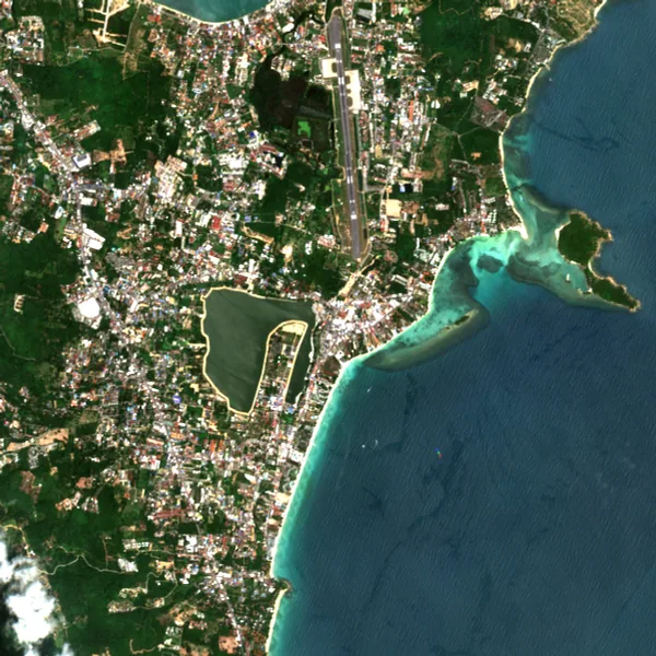
Provincial capitals
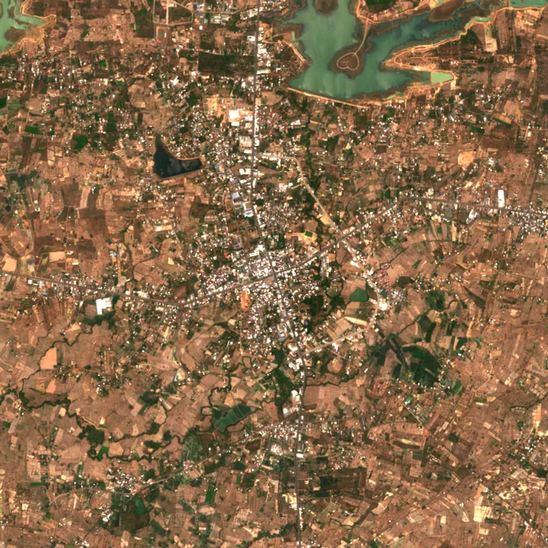 Amnat CharoenAmnat Charoen · 2025
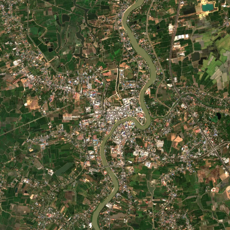 Ang ThongAng Thong · 2025
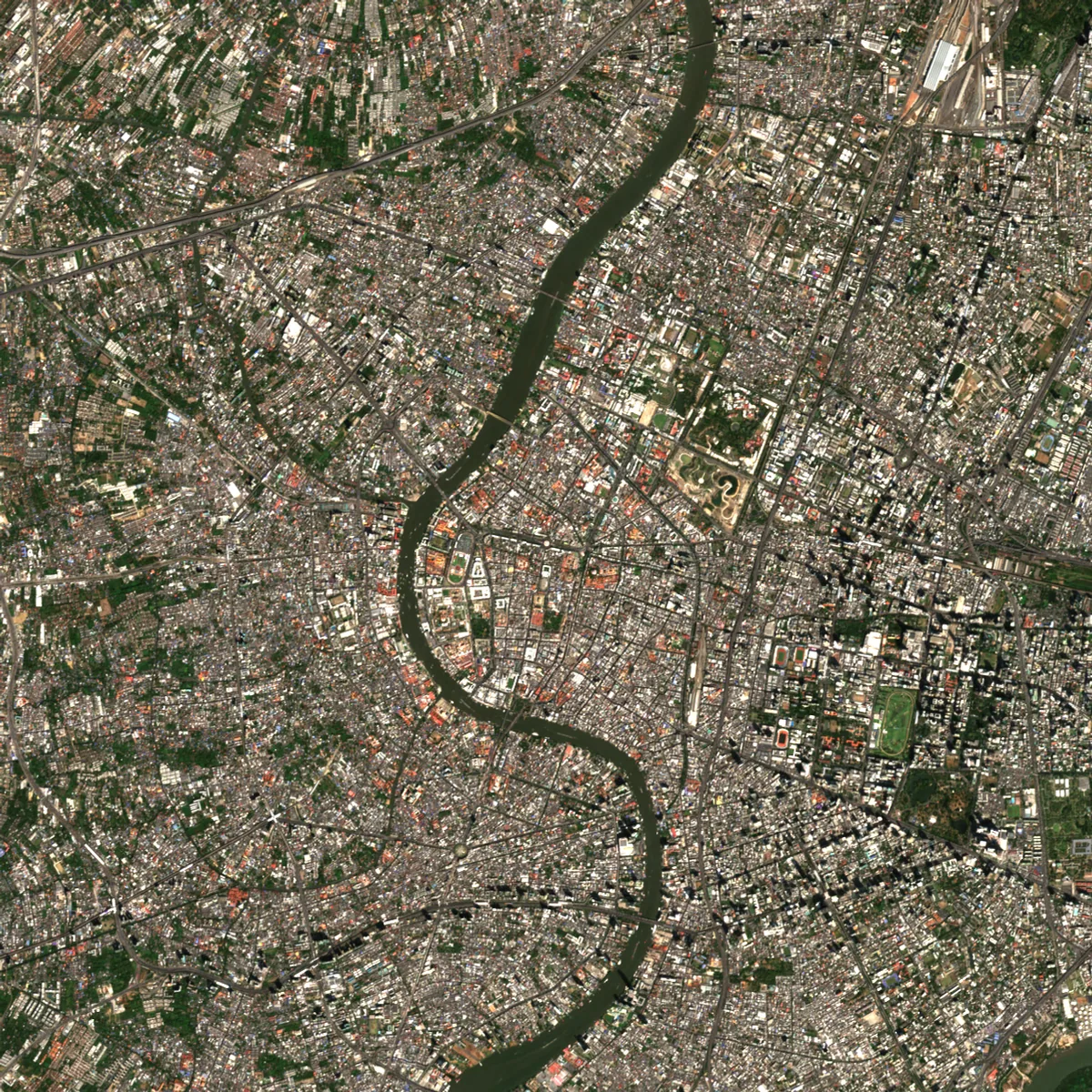 BangkokBangkok · 2025
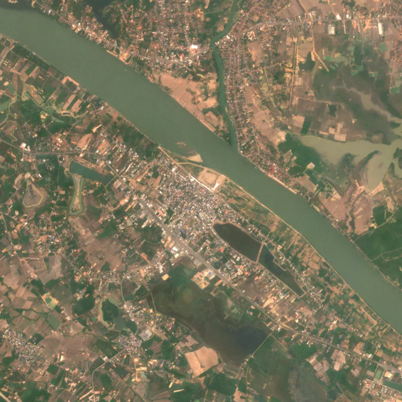 Bueng KanBueng Kan · 2025
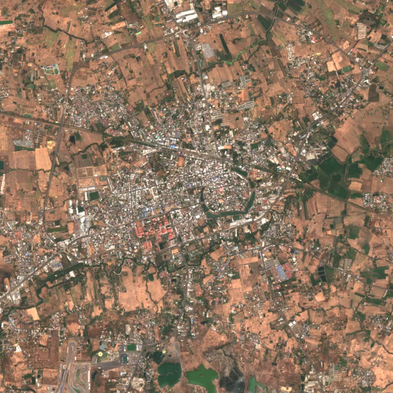 Buri RamBuri Ram · 2025
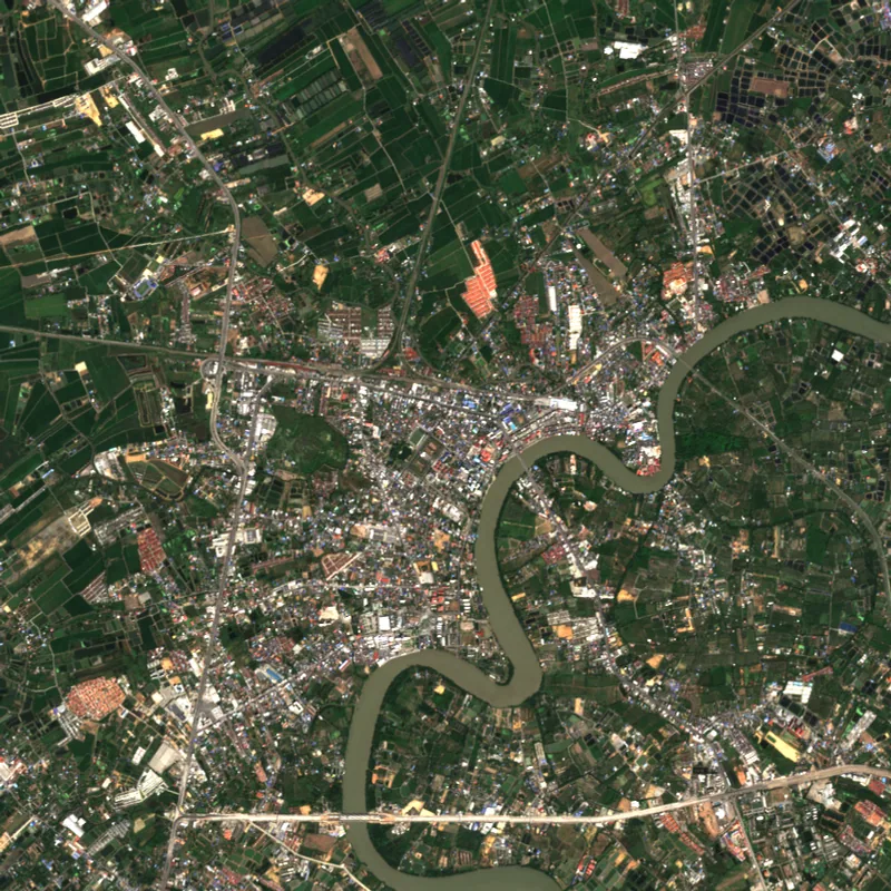 ChachoengsaoChachoengsao · 2025
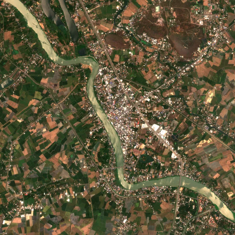 Chai NatChai Nat · 2025
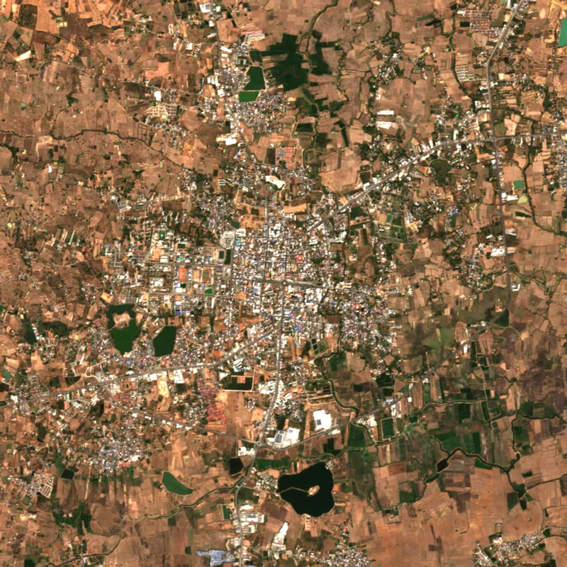 ChaiyaphumChaiyaphum · 2025
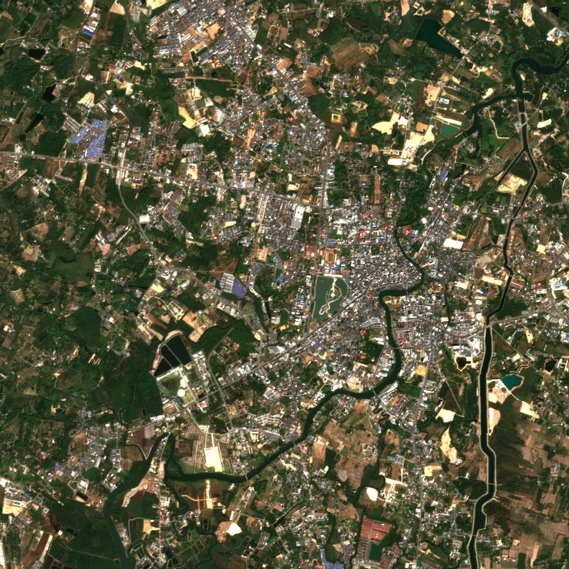 ChanthaburiChanthaburi · 2025
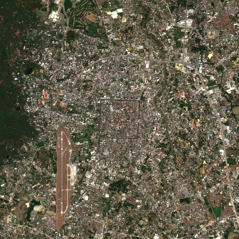 Chiang MaiChiang Mai · 2025
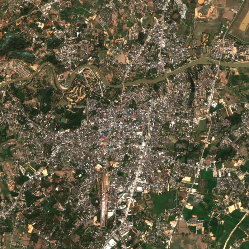 Chiang RaiChiang Rai · 2025
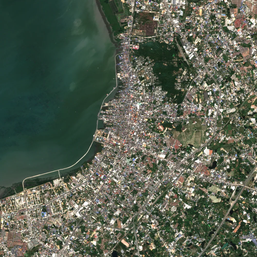 Chon BuriChon Buri · 2025
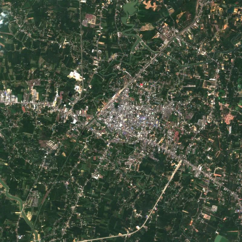 ChumphonChumphon · 2025
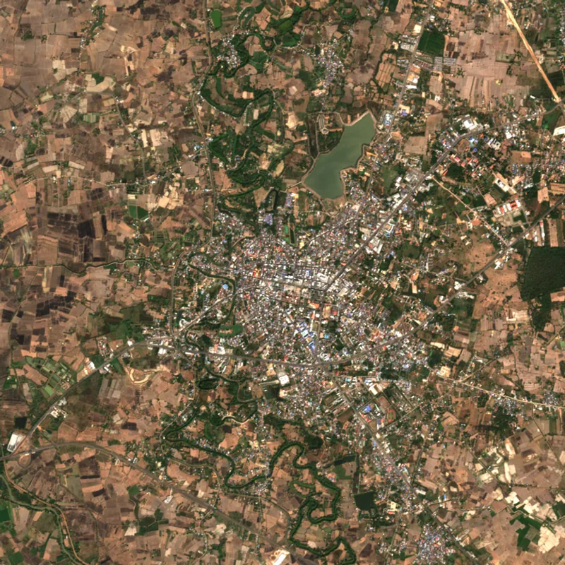 KalasinKalasin · 2025
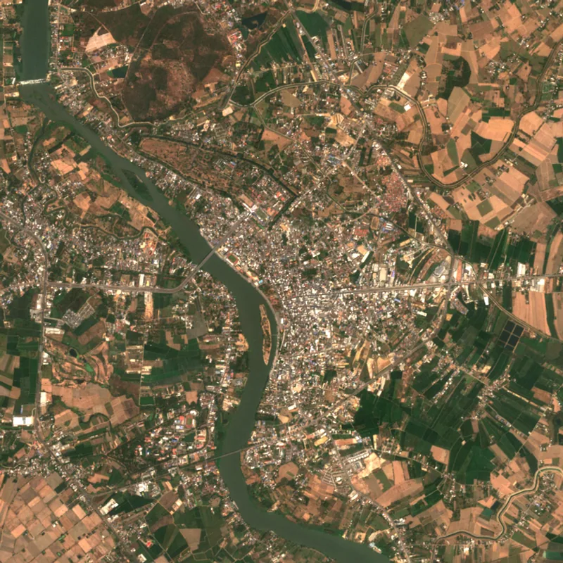 Kamphaeng PhetKamphaeng Phet · 2025
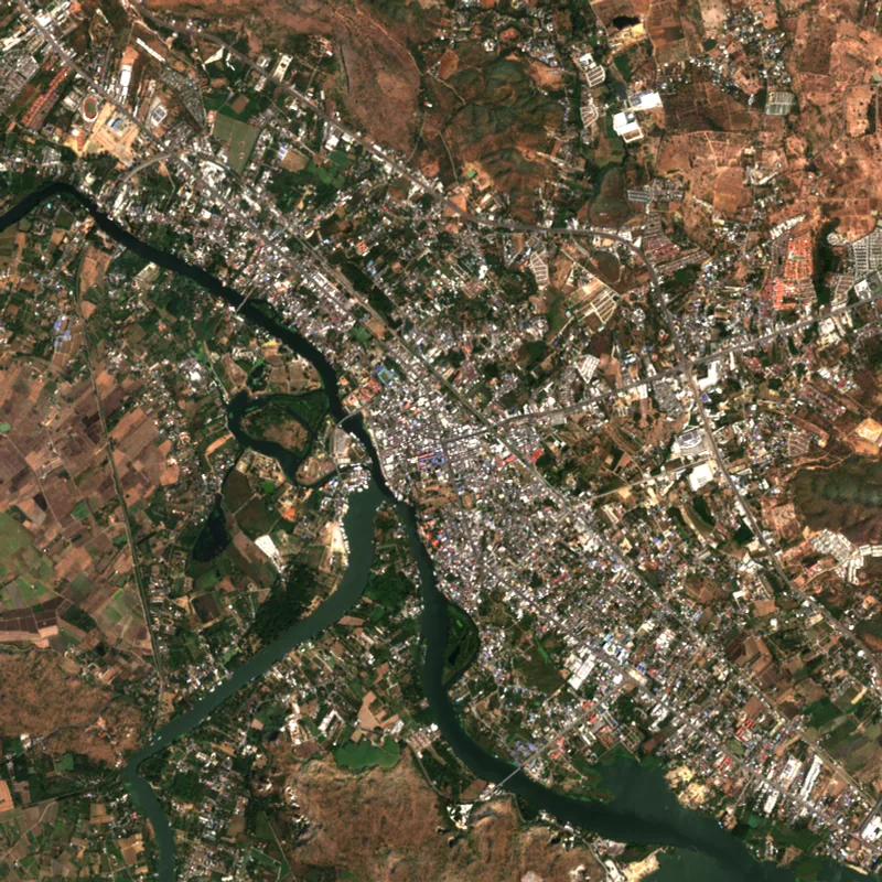 KanchanaburiKanchanaburi · 2025
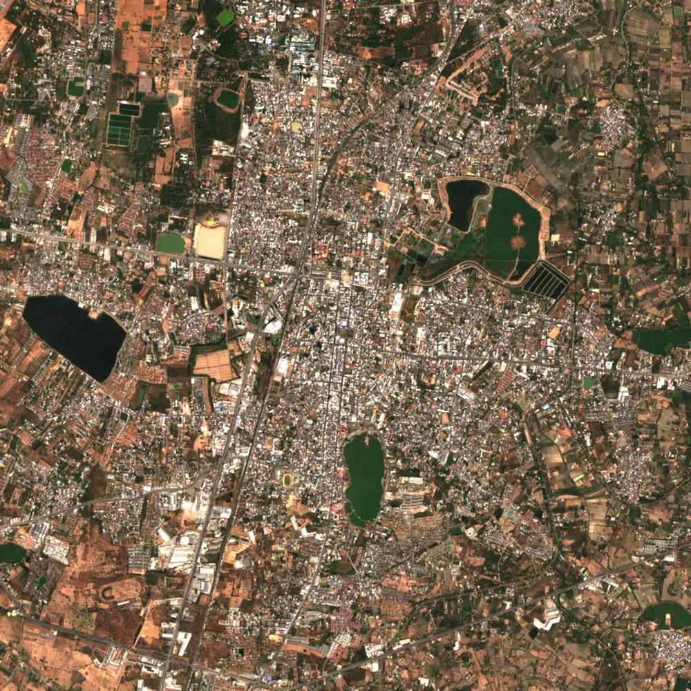 Khon KaenKhon Kaen · 2025
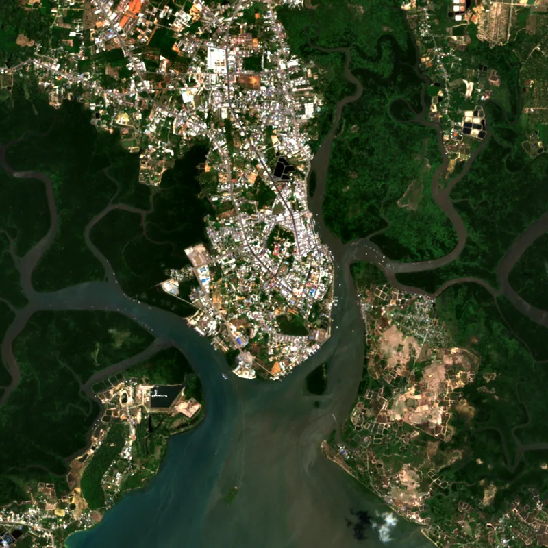 KrabiKrabi · 2025
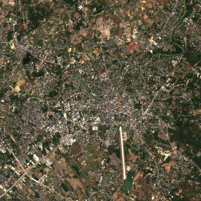 LampangLampang · 2025
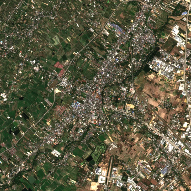 LamphunLamphun · 2025
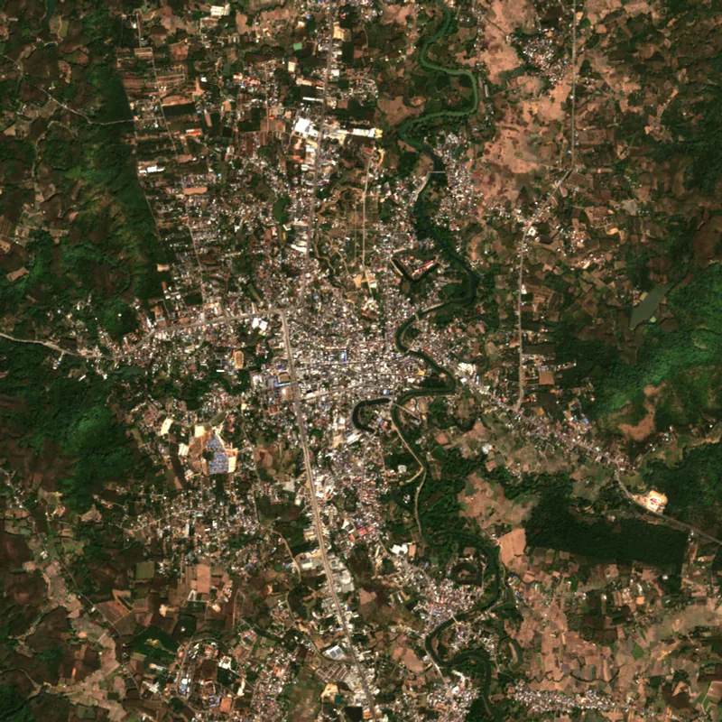 LoeiLoei · 2025
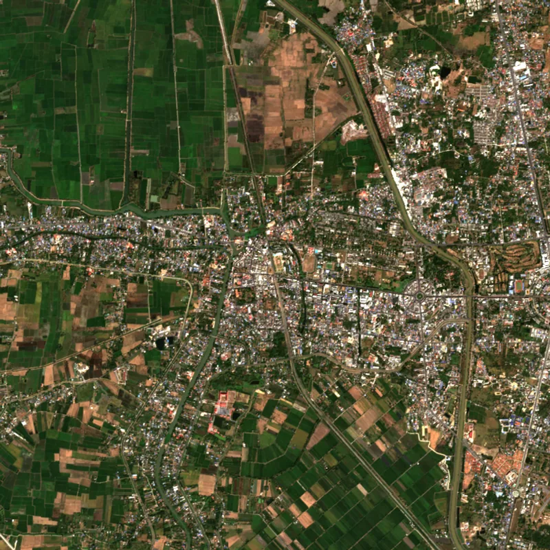 Lop BuriLop Buri · 2025
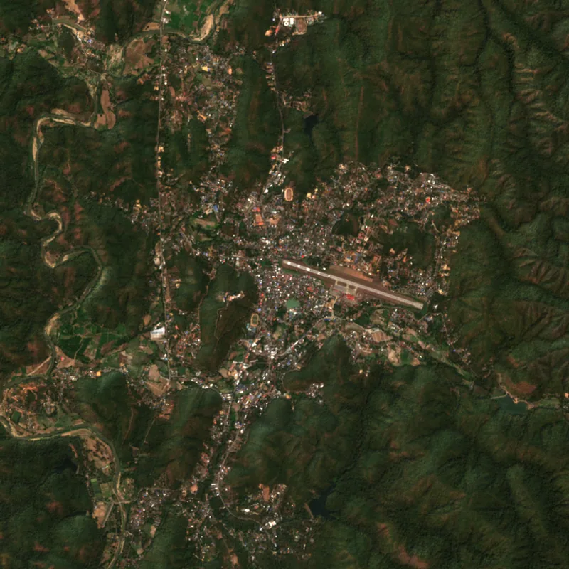 Mae Hong SonMae Hong Son · 2025
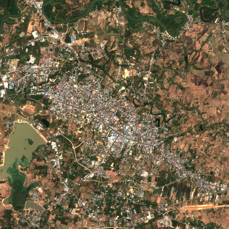 Maha SarakhamMaha Sarakham · 2025
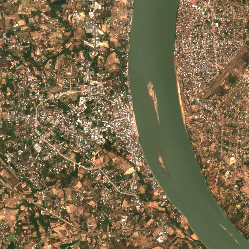 MukdahanMukdahan · 2025
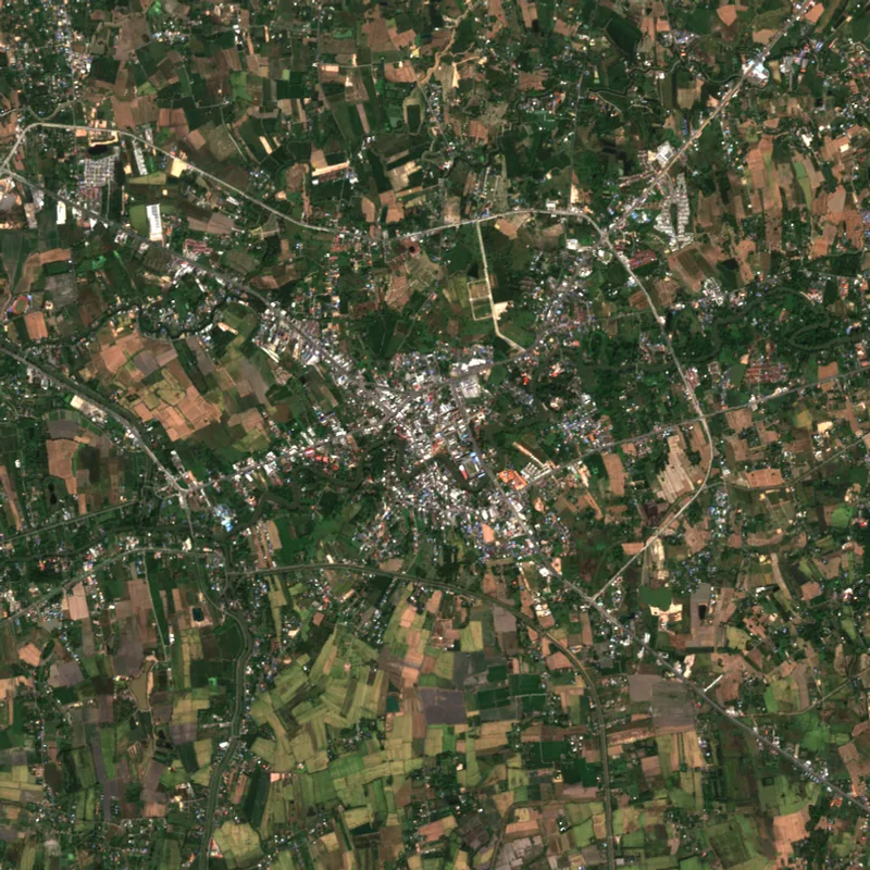 Nakhon NayokNakhon Nayok · 2025
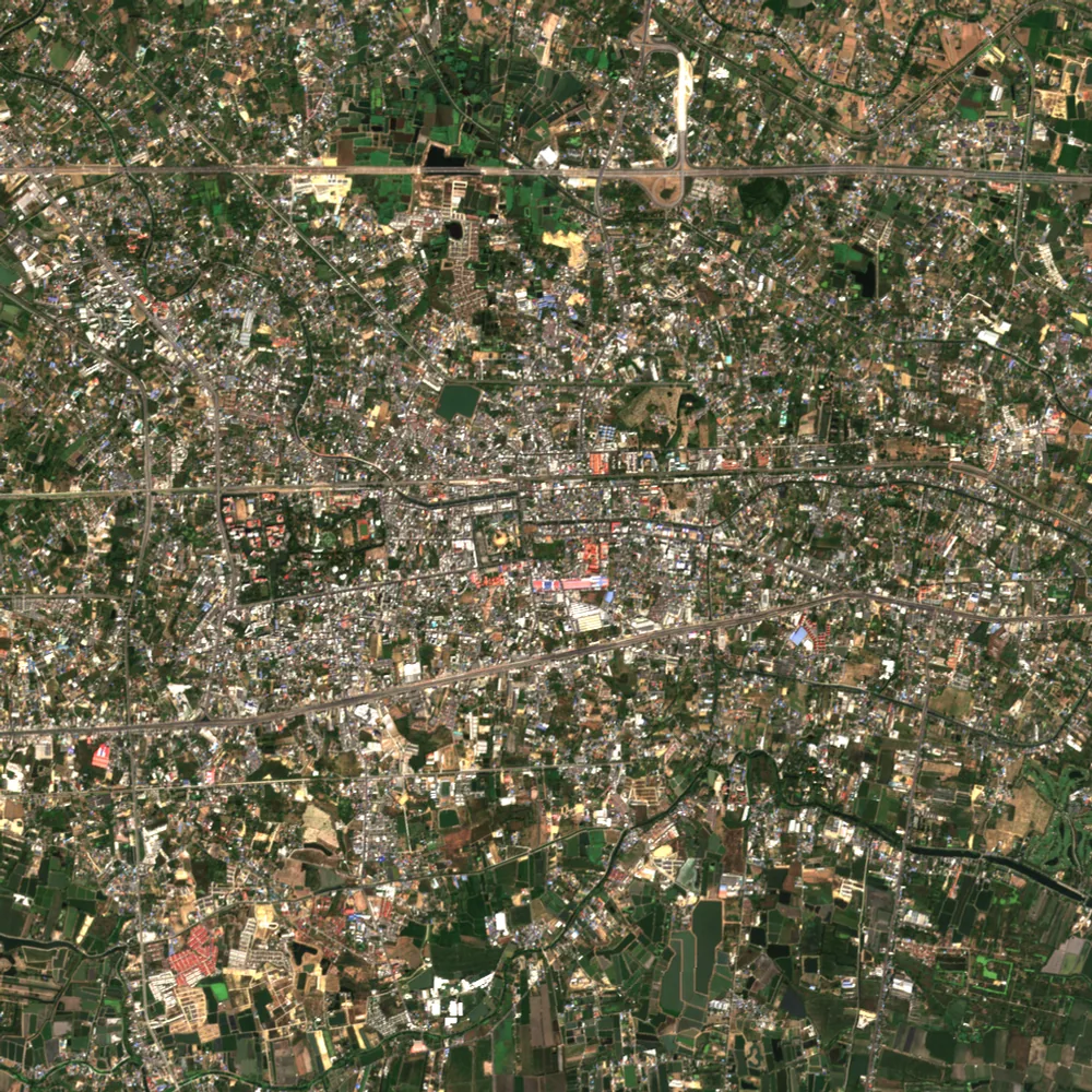 Nakhon PathomNakhon Pathom · 2025
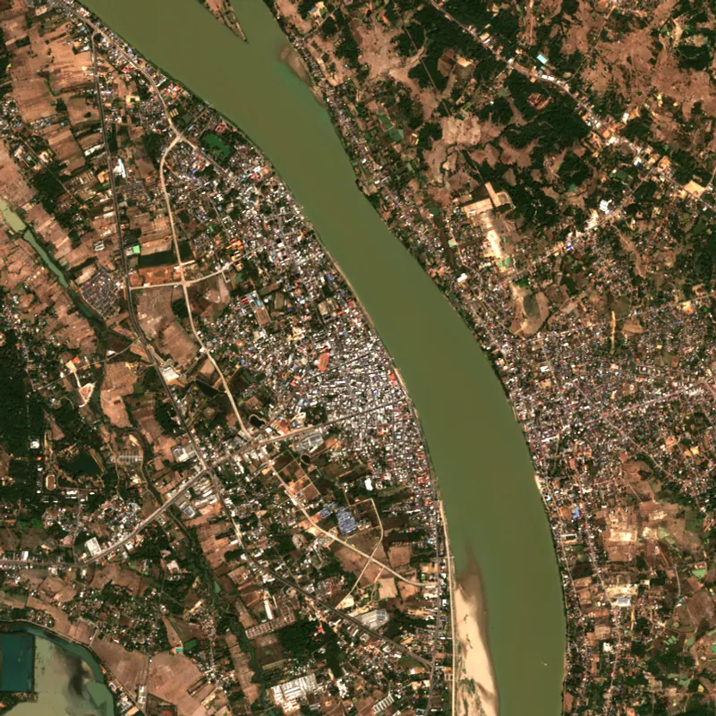 Nakhon PhanomNakhon Phanom · 2025
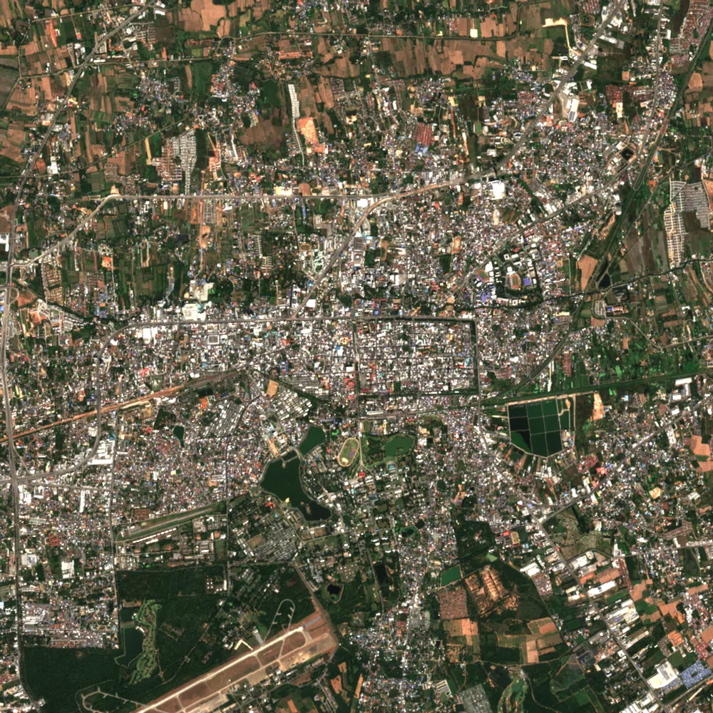 Nakhon RatchasimaNakhon Ratchasima · 2025
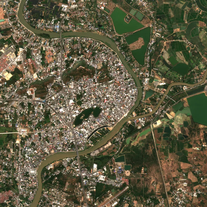 Nakhon SawanNakhon Sawan · 2025
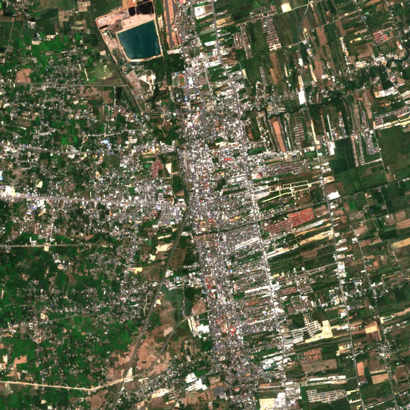 Nakhon Si ThammaratNakhon Si Thammarat · 2024
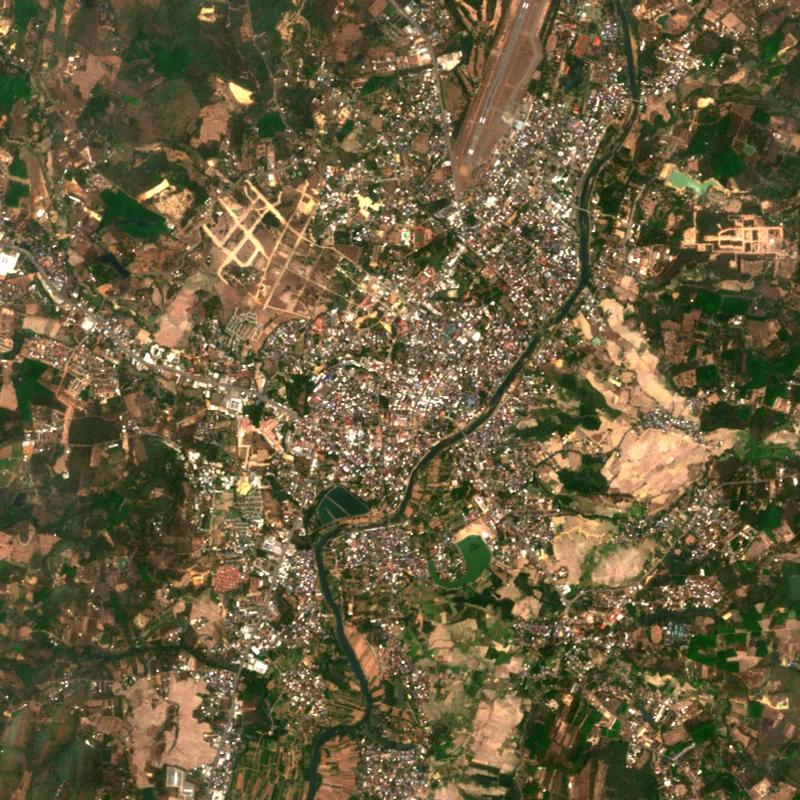 NanNan · 2025
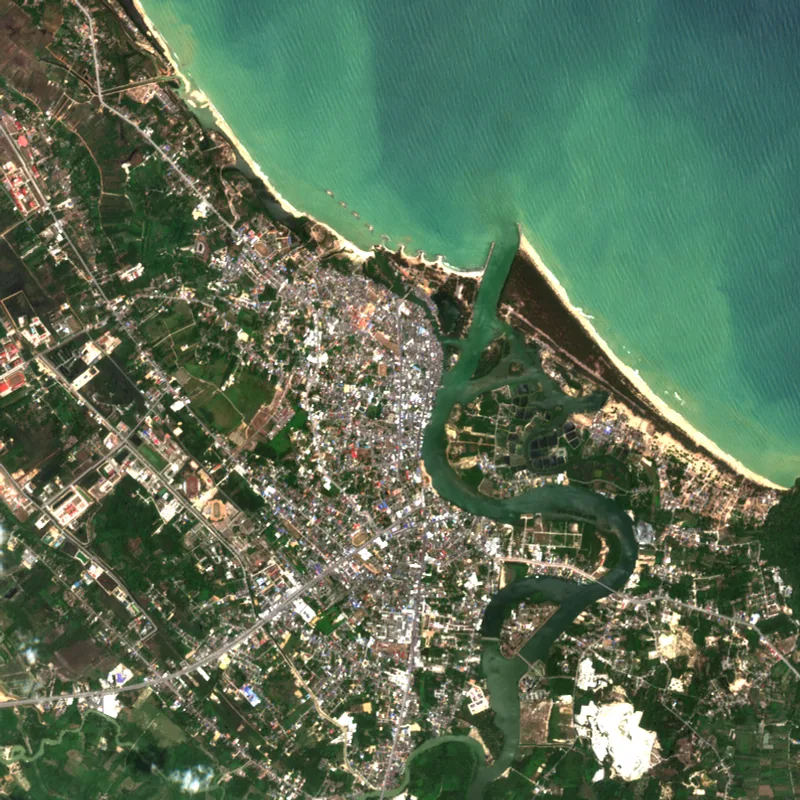 NarathiwatNarathiwat · 2024
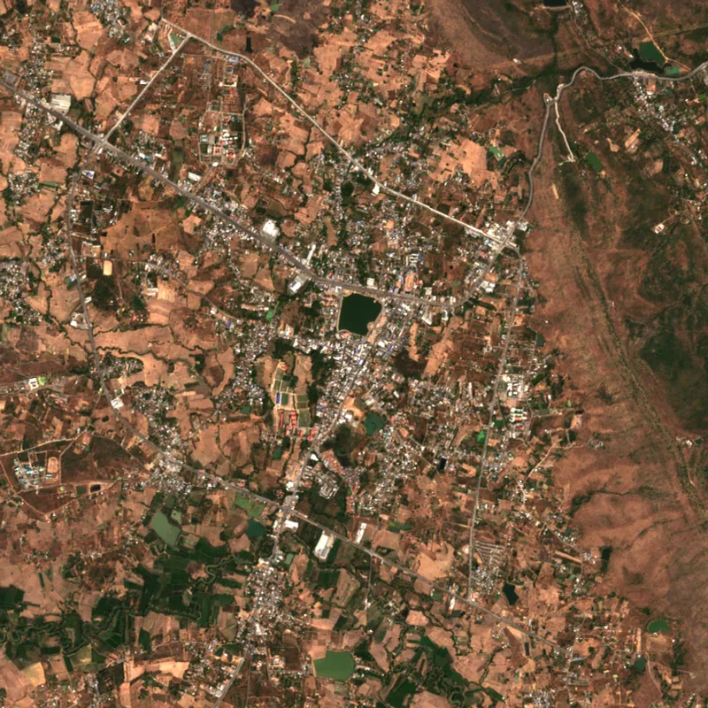 Nong Bua Lam PhuNong Bua Lam Phu · 2025
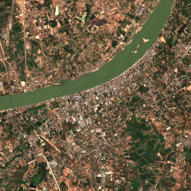 Nong KhaiNong Khai · 2025
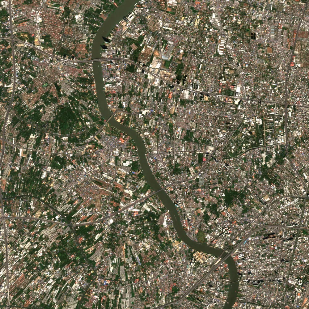 NonthaburiNonthaburi · 2025
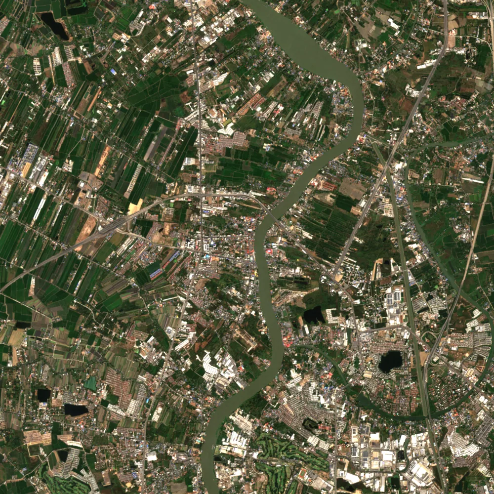 Pathum ThaniPathum Thani · 2025
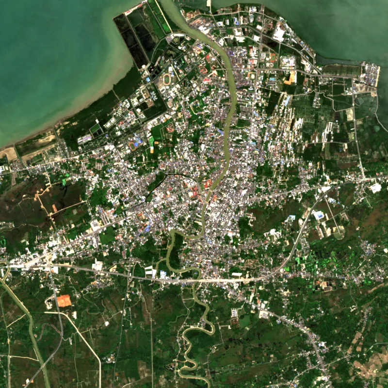 PattaniPattani · 2025
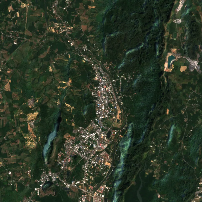 PhangngaPhangnga · 2025
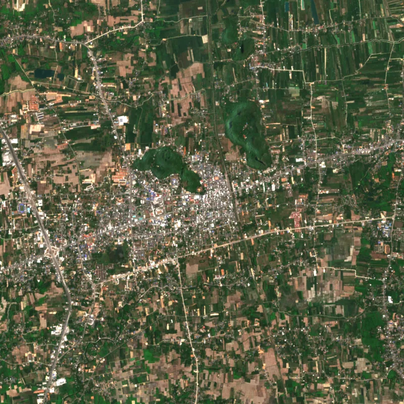 PhatthalungPhatthalung · 2024
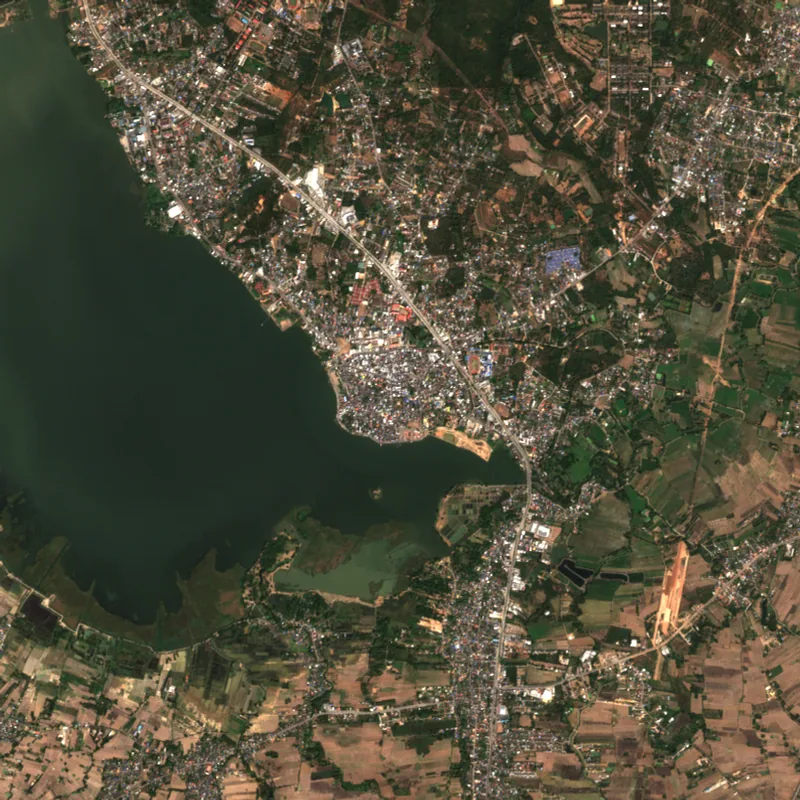 PhayaoPhayao · 2025
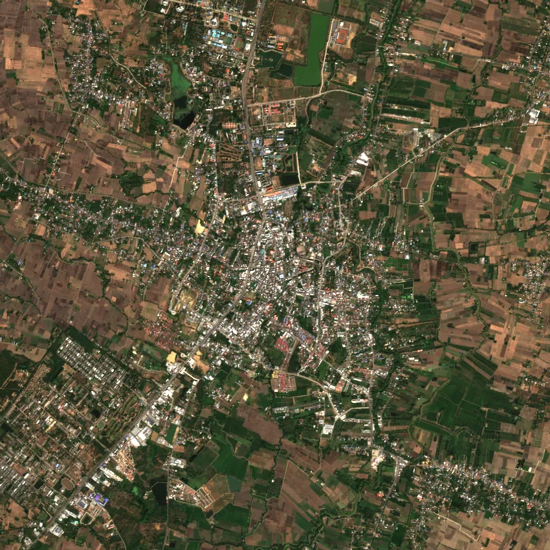 PhetchabunPhetchabun · 2025
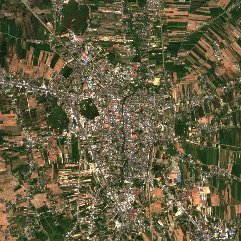 PhetchaburiPhetchaburi · 2025
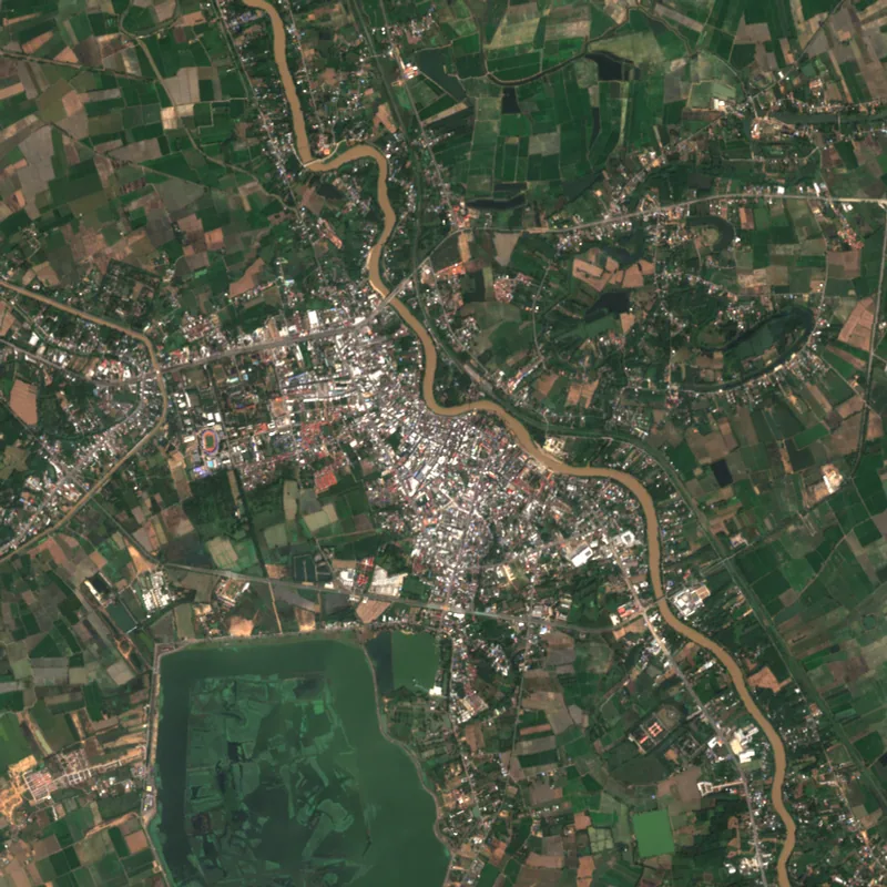 PhichitPhichit · 2025
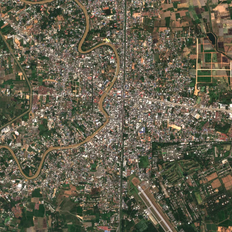 PhitsanulokPhitsanulok · 2025
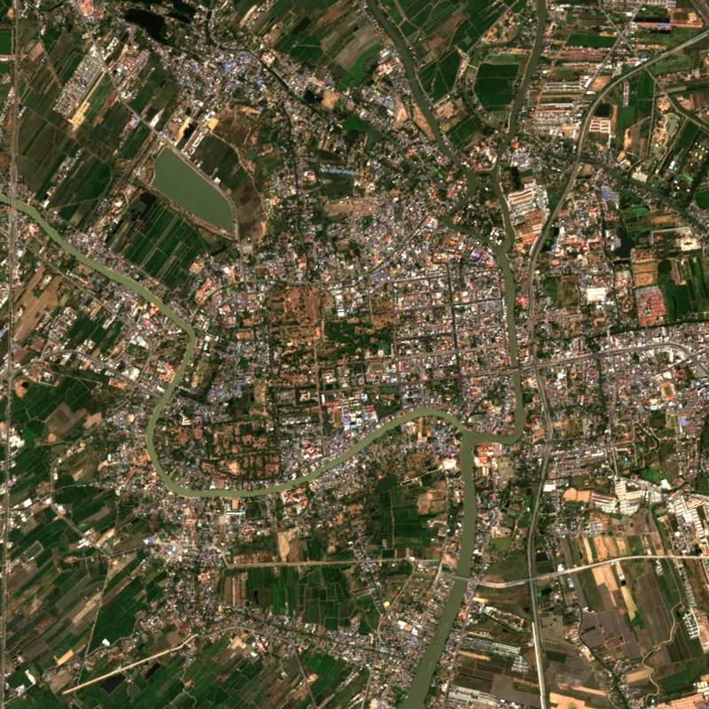 Phra Nakhon Si AyutthayaPhra Nakhon Si Ayutthaya · 2025
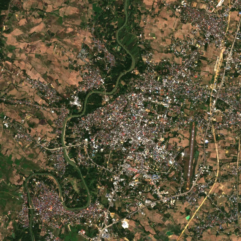 PhraePhrae · 2025
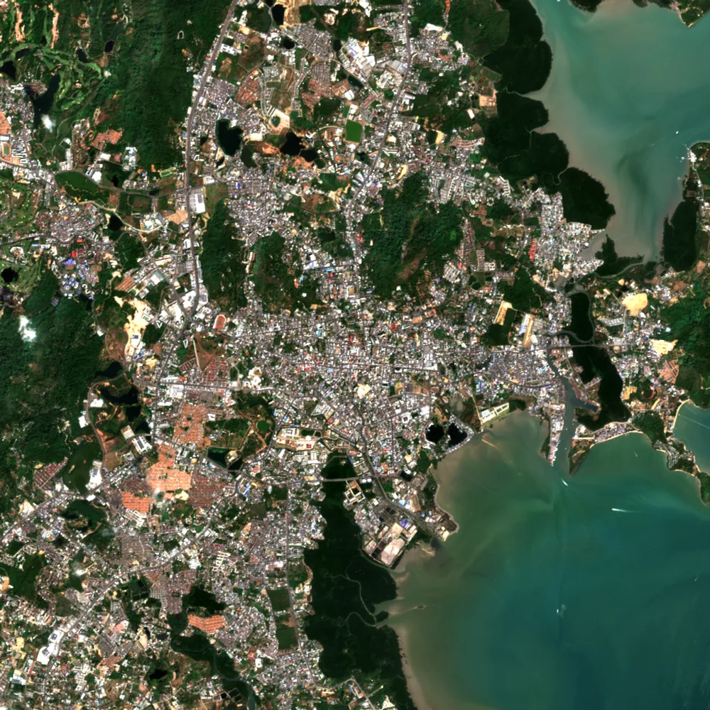 PhuketPhuket · 2025
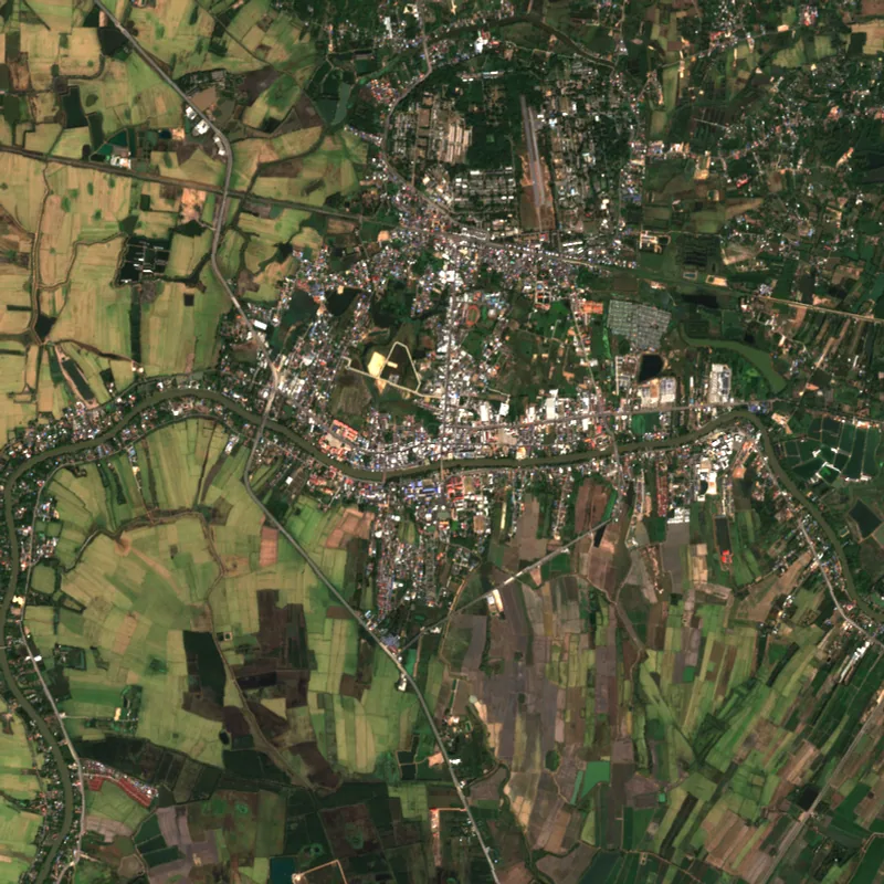 Prachin BuriPrachin Buri · 2025
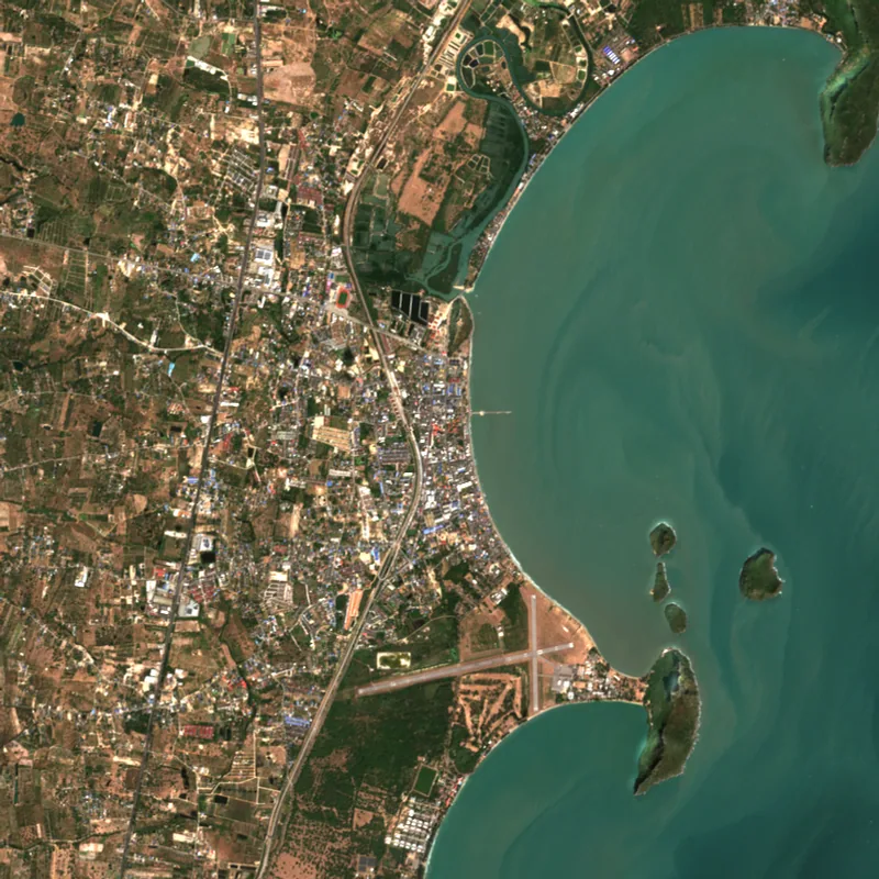 Prachuap Khiri KhanPrachuap Khiri Khan · 2025
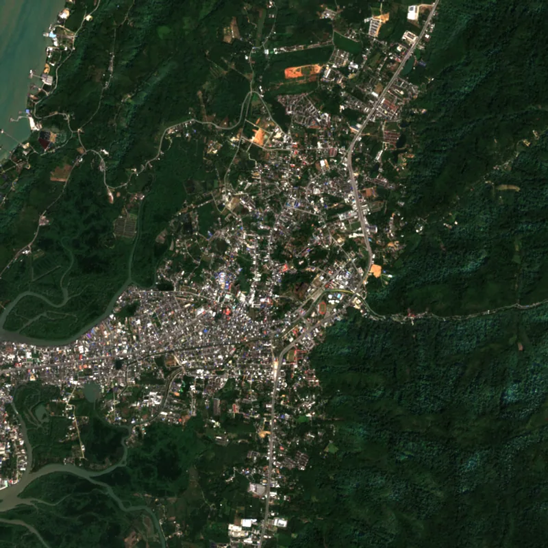 RanongRanong · 2025
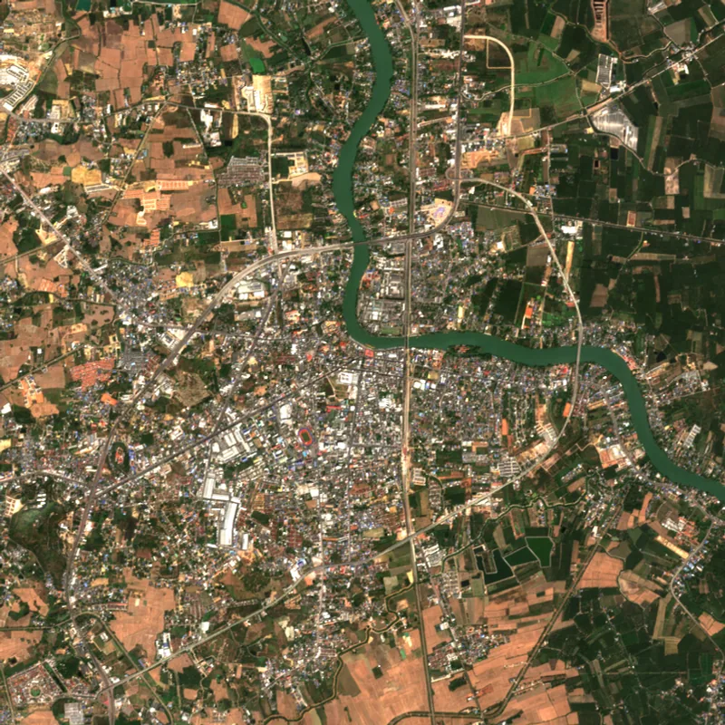 RatchaburiRatchaburi · 2025
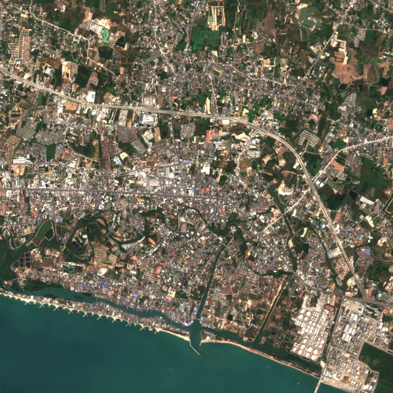 RayongRayong · 2025
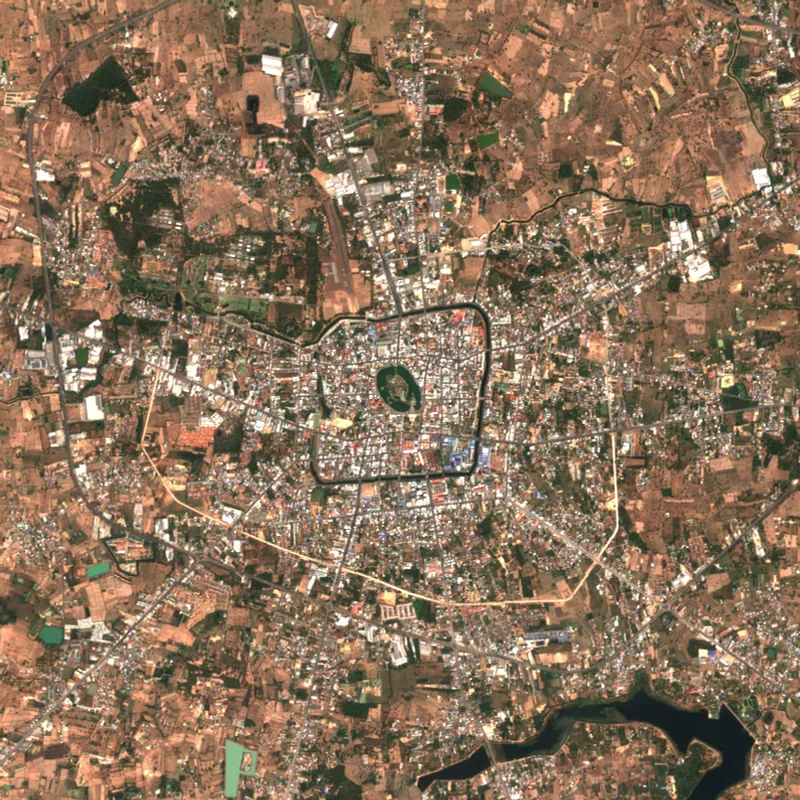 Roi EtRoi Et · 2025
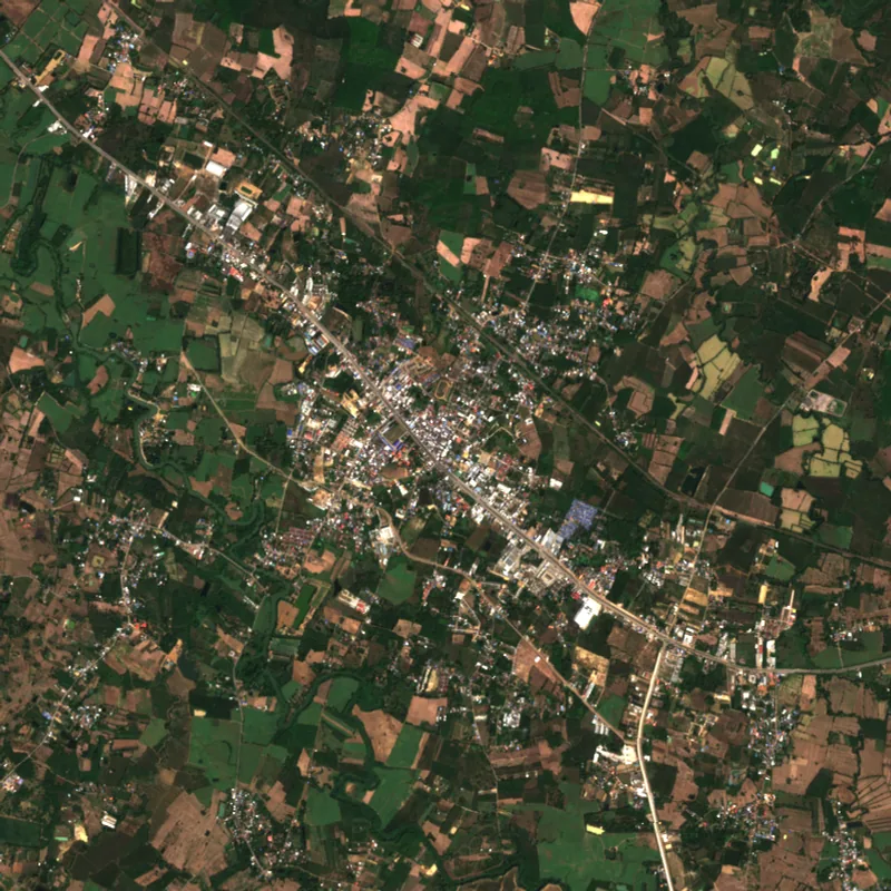 Sa KaeoSa Kaeo · 2025
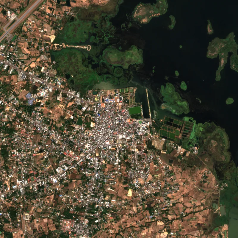 Sakon NakhonSakon Nakhon · 2025
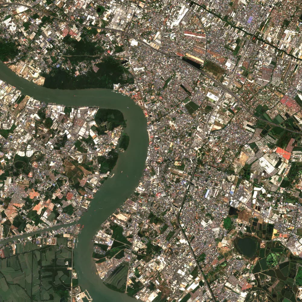 Samut PrakanSamut Prakan · 2025
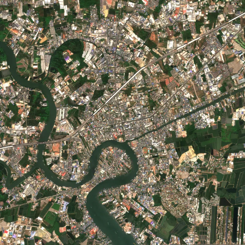 Samut SakhonSamut Sakhon · 2025
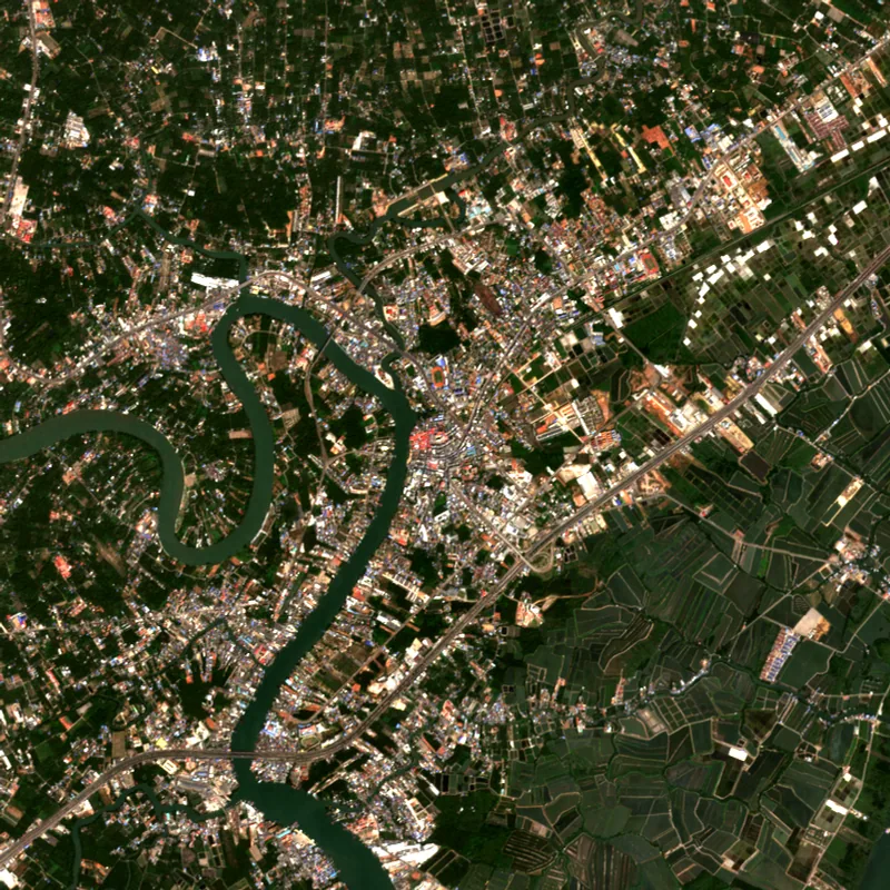 Samut SongkhramSamut Songkhram · 2025
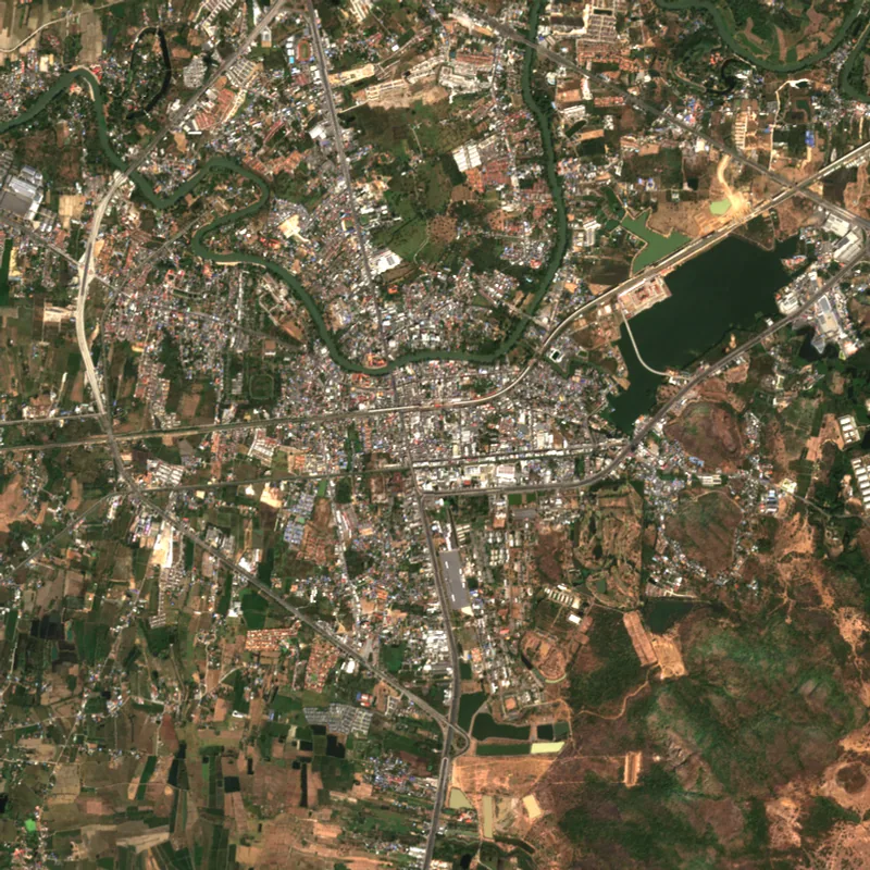 SaraburiSaraburi · 2025
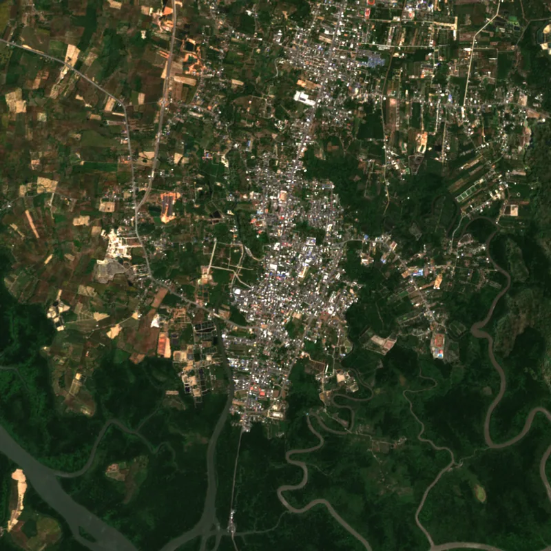 SatunSatun · 2025
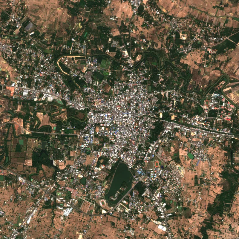 Si Sa KetSi Sa Ket · 2025
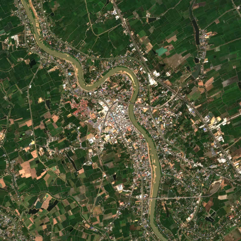 Sing BuriSing Buri · 2025
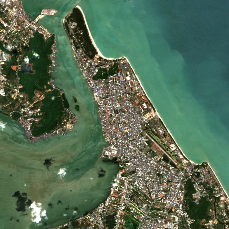 SongkhlaSongkhla · 2025
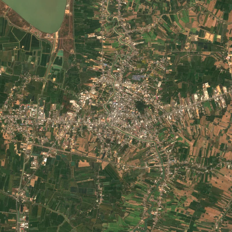 SukhothaiSukhothai · 2025
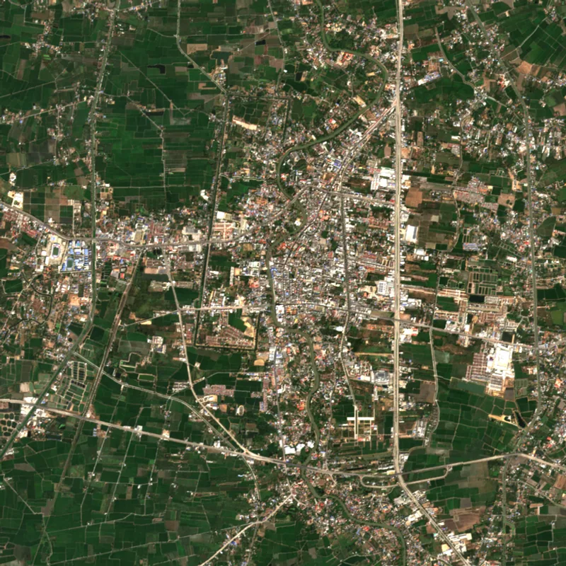 Suphan BuriSuphan Buri · 2025
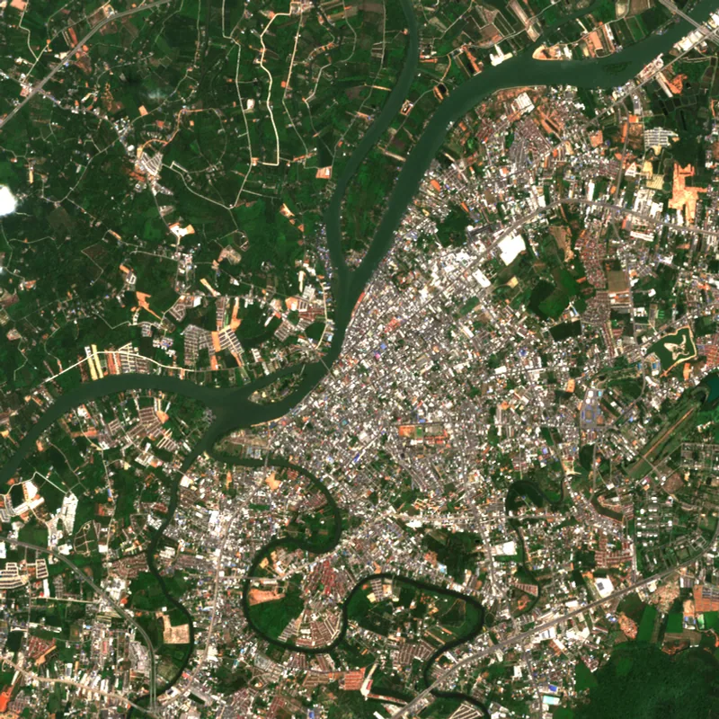 Surat ThaniSurat Thani · 2025
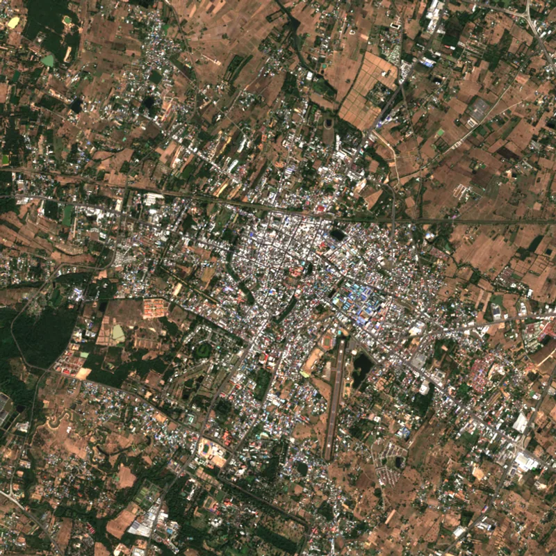 SurinSurin · 2025
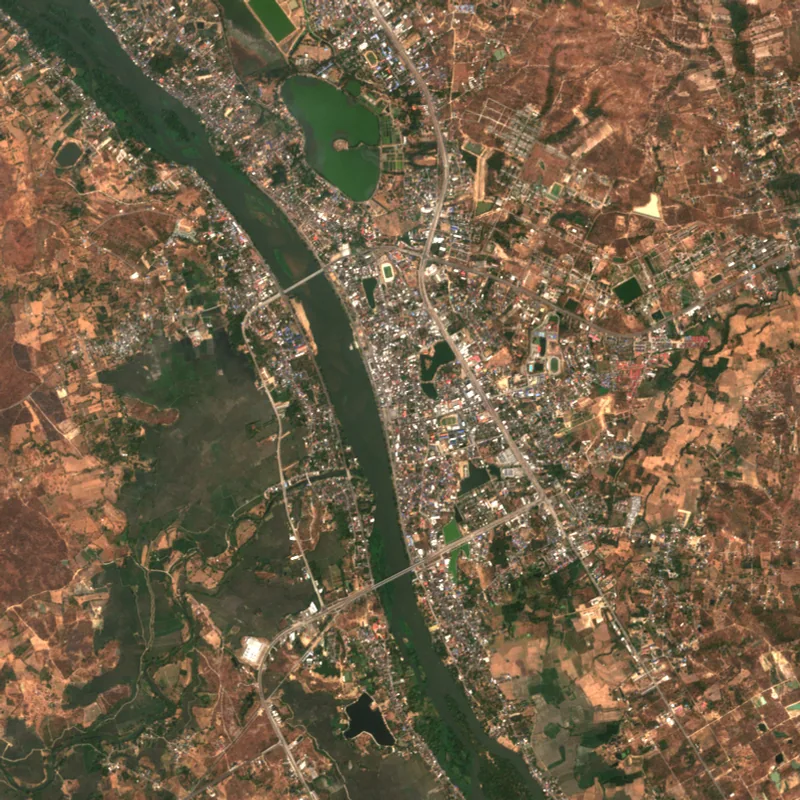 TakTak · 2025
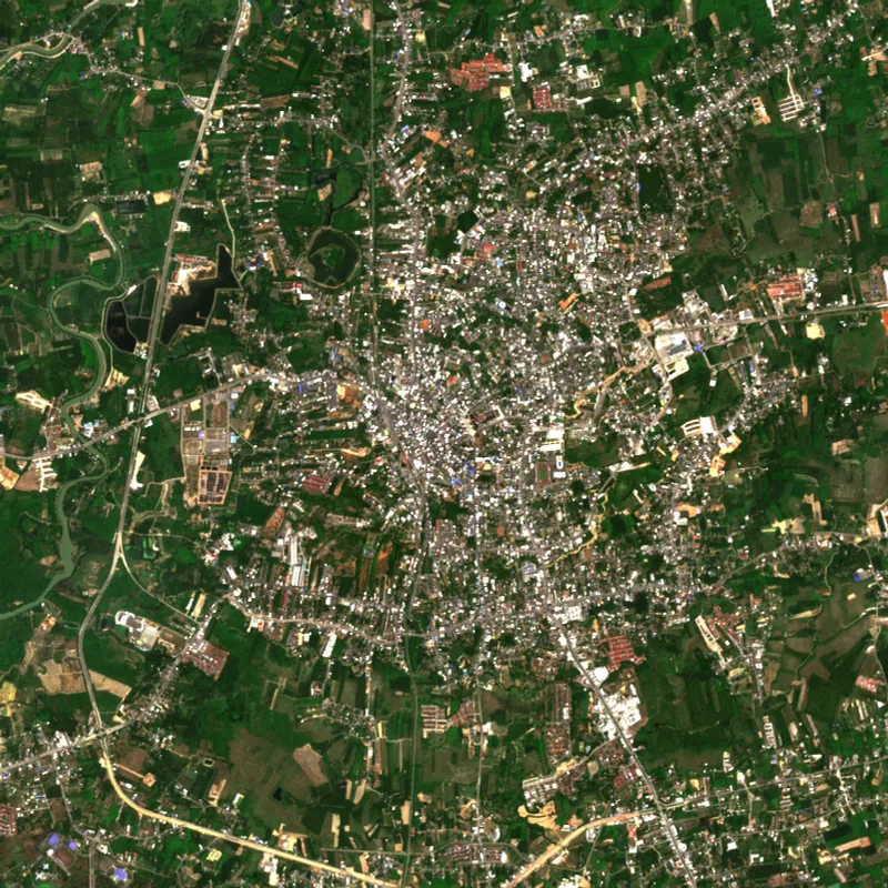 TrangTrang · 2025
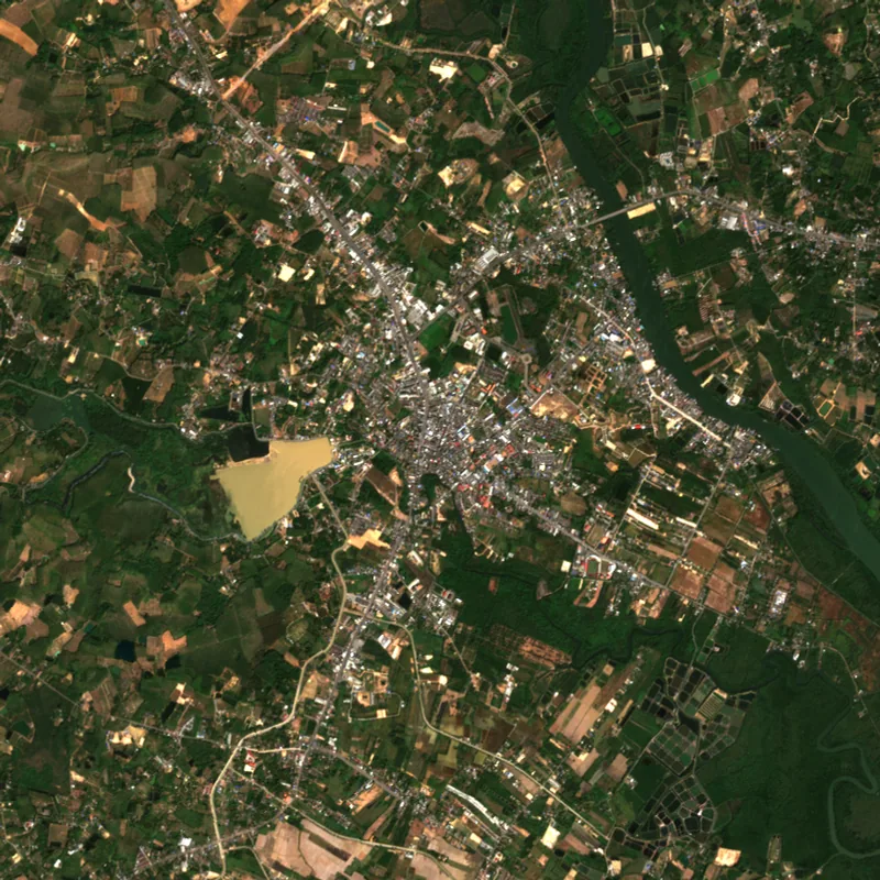 TratTrat · 2025
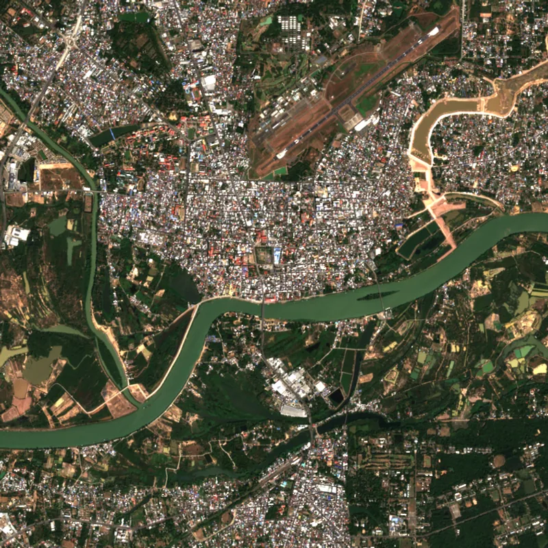 Ubon RatchathaniUbon Ratchathani · 2025
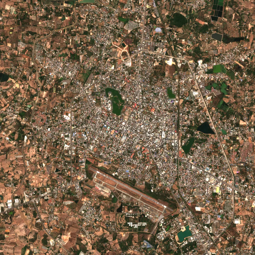 Udon ThaniUdon Thani · 2025
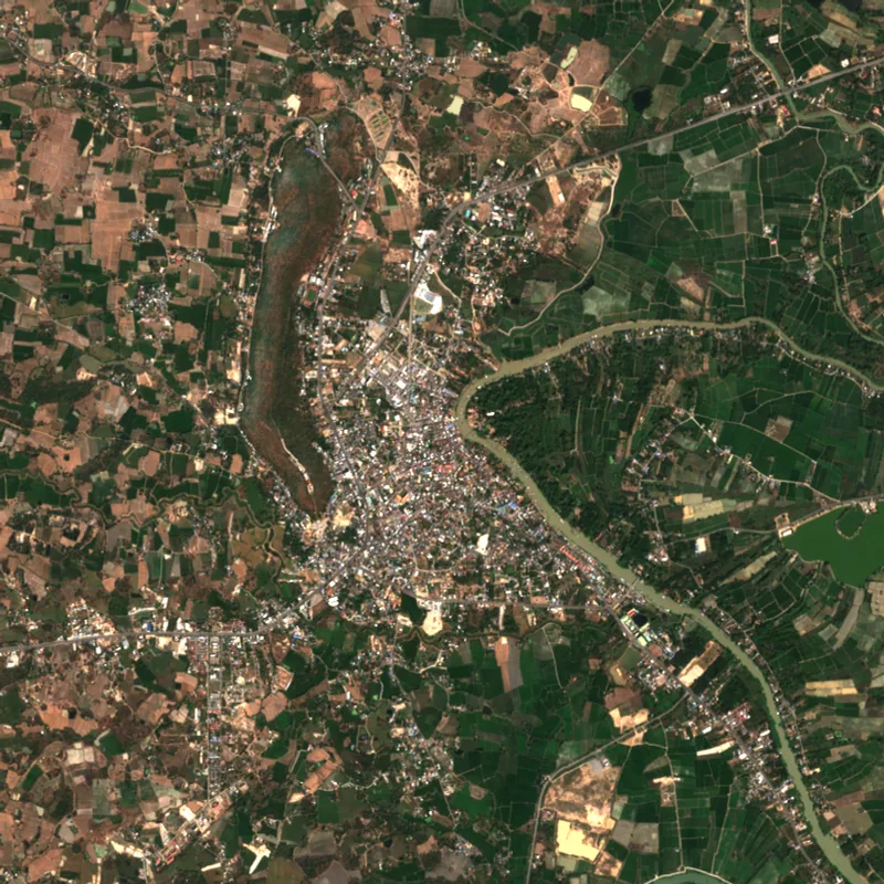 Uthai ThaniUthai Thani · 2025
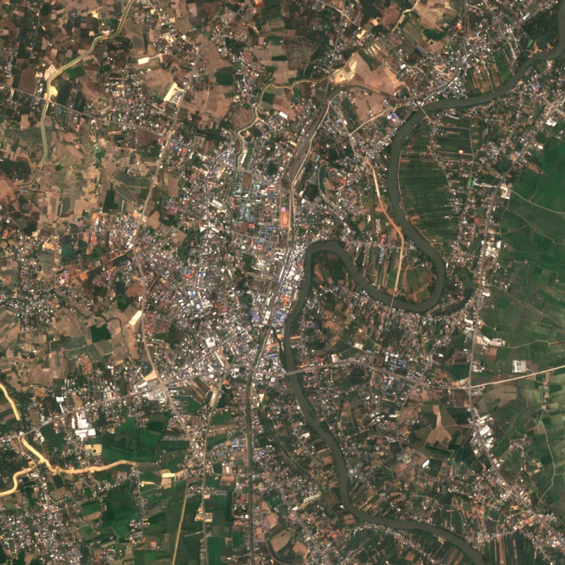 UttaraditUttaradit · 2025
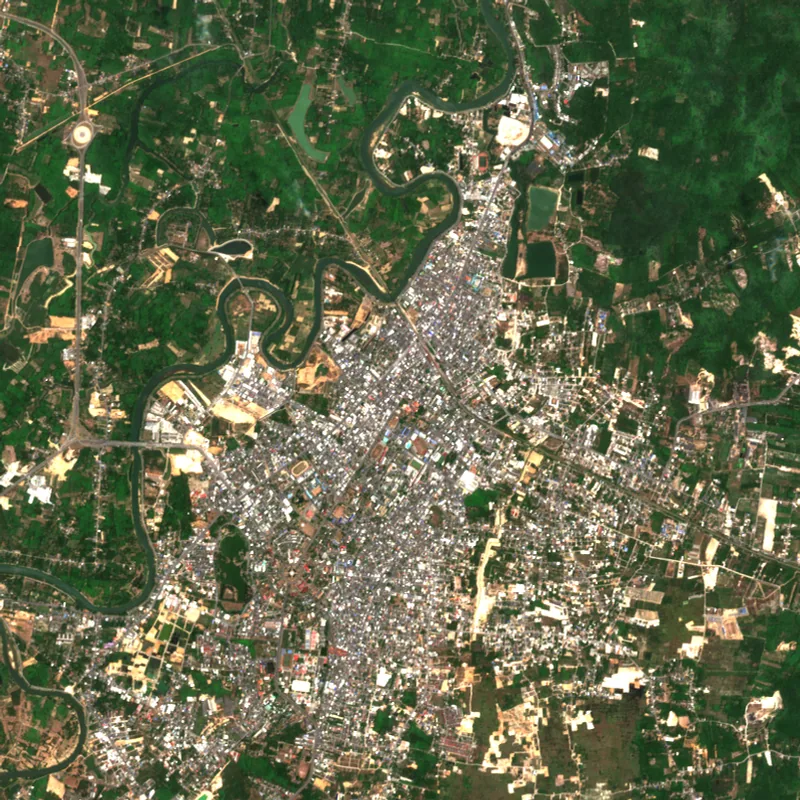 YalaYala · 2024
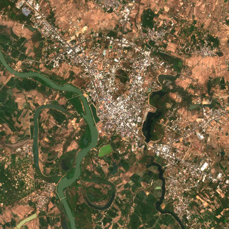 YasothonYasothon · 2025